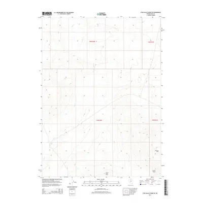
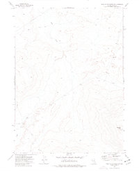
2014 Map of Star Valley Ridge SE
USGS Topo · Published 2014About this map
Lake Cr winds across this section of northern Elko County, marking the drainage patterns of a high-altitude landscape defined by isolated landforms and open range. The topography is anchored by the prominent Bartome Knoll in the southeast and the distinct elevation of Corral Lake Butte near the southern boundary. These named landmarks serve as critical points of reference within the vast Owyhee Desert transition, where the Public Land Survey System grid lines of t45n r46e and t46n r46e overlay a terrain of subtle draws and ridges. The sparse concentration of named features reflects the remote character of this region, providing a clear record of the area's physical geography as it appeared during the 2014 survey.
Find a feature on this map
8 named features on this map. Tap any name to fly to it.
Don’t see what you’re looking for? This feature index may not catch every label — zoom into the map to look around manually.
Map Details
Editions of this 2014 Star Valley Ridge SE Map
This is the sole edition of this map. No revisions or reprints were ever made.
Other maps of this area

1955 · McDermitt
USGS Topo · 1:250,000

1959 · McDermitt
USGS Topo · 1:250,000

1973 · Star Valley Ridge SW
USGS Topo · 1:24,000

1973 · Button Lake Well
USGS Topo · 1:24,000
1973 · Star Valley Ridge East
USGS Topo · 1:24,000

1973 · Corral Lake
USGS Topo · 1:24,000
1973 · Rubber Hill
USGS Topo · 1:24,000

1973 · Twelvemile Flat
USGS Topo · 1:24,000
1973 · Star Valley Ridge West
USGS Topo · 1:24,000
1973 · Star Valley Ridge SE
USGS Topo · 1:24,000