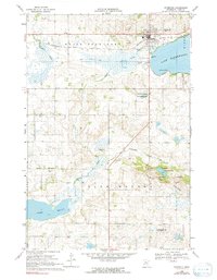
1968 Map of Starbuck
USGS Topo · Published 1991About this map
The lakeside community of Starbuck serves as the focal point of this late 1960s survey, positioned at the western edge of Lake Minnewaska. The landscape is defined by its glacial history, prominently displayed through the numerous water bodies like White Bear Lake and the complex terrain of the Blue Mounds within Glacial Lakes State Park. Transport and commerce are anchored by the Northern Pacific railroad line, which runs parallel to the Little Chippewa River, and the local Starbuck Airport.
Find a feature on this map
33 named features on this map. Tap any name to fly to it.
Don’t see what you’re looking for? This feature index may not catch every label — zoom into the map to look around manually.
Map Details
Editions of this 1968 Starbuck Map
2 editions found
Other maps of this area

1953 · Saint Cloud
USGS Topo · 1:250,000

1957 · Saint Cloud
USGS Topo · 1:250,000

1958 · Saint Cloud
USGS Topo · 1:250,000

1968 · Cyrus
USGS Topo · 1:24,000

1968 · Starbuck
USGS Topo · 1:24,000

1968 · Lowry
USGS Topo · 1:24,000

1968 · Glenwood
USGS Topo · 1:24,000

1968 · Lake Hassel
USGS Topo · 1:24,000

1968 · Starbuck NW
USGS Topo · 1:24,000
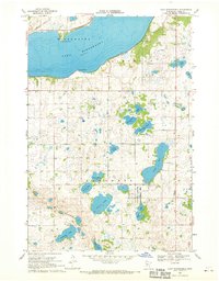
1968 · Lake Minnewaska
USGS Topo · 1:24,000