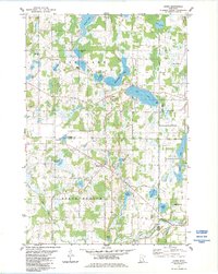
1983 Map of Stark
USGS Topo · Published 1984About this map
Glacial lakes and wetlands define this portion of Chisago County in the early 1980s, where the small community of Stark sits at a crossroads near the center of the sheet. The landscape is dominated by a dense network of water bodies, from the prominent Fish Lake and Horseshoe Lake in the north to the sprawling Chain Lake system in the east. Social life in the late 20th century is anchored by landmarks like the Fish Lake Ch and the recreation areas at Fish Lake County Park.
Find a feature on this map
34 named features on this map. Tap any name to fly to it.
Don’t see what you’re looking for? This feature index may not catch every label — zoom into the map to look around manually.
Map Details
Editions of this 1983 Stark Map
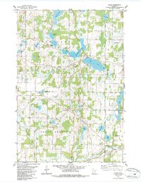
2 editions found
Other maps of this area

1950 · Rush City
USGS Topo · 1:48,000

1953 · Stillwater
USGS Topo · 1:250,000

1955 · Rush City
USGS Topo · 1:62,500

1955 · Forest Lake
USGS Topo · 1:62,500

1955 · Isanti
USGS Topo · 1:62,500

1955 · Stillwater
USGS Topo · 1:250,000

1958 · Stillwater
USGS Topo · 1:250,000

1961 · Cambridge
USGS Topo · 1:62,500

1965 · Stillwater
USGS Topo · 1:250,000
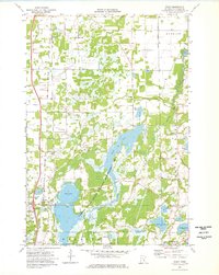
1974 · Stacy
USGS Topo · 1:24,000