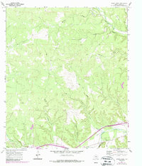
1970 Map of Stark Creek
USGS Topo · Published 1987About this map
The North Llano River carves through the southern portion of this Kimble County landscape, a region defined by a dense network of drainages and draws. During this period of the early 1970s, the small settlement of Cleo stands near the confluence of Bear Creek and West Bear Creek in the northeast. The topography is deeply dissected, featuring prominent relief such as Bee Cave Hollow and Ox Hollow.
Find a feature on this map
22 named features on this map. Tap any name to fly to it.
Don’t see what you’re looking for? This feature index may not catch every label — zoom into the map to look around manually.
Map Details
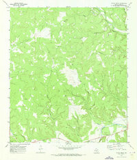
Editions of this 1970 Stark Creek Map
2 editions found
Other maps of this area

1893 · Rock Springs
USGS Topo · 1:125,000

1893 · Fort McKavett
USGS Topo · 1:125,000

1932 · Junction
USGS Topo · 1:62,500

1954 · Llano
USGS Topo · 1:250,000

1954 · Sonora
USGS Topo · 1:250,000

1955 · Llano
USGS Topo · 1:250,000

1956 · Llano
USGS Topo · 1:250,000

1958 · Sonora
USGS Topo · 1:250,000

1962 · Roosevelt
USGS Topo · 1:24,000

1963 · McKegan Draw
USGS Topo · 1:24,000