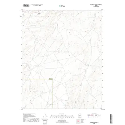
2018 Map of Steamboat Canyon
USGS Topo · Published 2018About this map
Steamboat Canyon dominates this high-desert landscape on the border of Apache County and Navajo County. The area is characterized by a network of secondary roads and routes, including Bia Rd and Indian Rte 9055, which navigate the complex topography of the canyon system. Evidence of vital water sources in this arid environment is found at Joseph Spring, located in the southeastern portion of the map. This 2018 survey provides a clear view of the modern land divisions within the Fort Defiance Agency, showing the intersection of township lines such as t27n r24e and t26n r23e as they cross the county boundary. The mapping reveals a sparsely populated region where infrastructure is primarily focused on transit across the rugged terrain.
Find a feature on this map
15 named features on this map. Tap any name to fly to it.
Don’t see what you’re looking for? This feature index may not catch every label — zoom into the map to look around manually.
Map Details
Editions of this 2018 Steamboat Canyon Map
This is the sole edition of this map. No revisions or reprints were ever made.
Other maps of this area

1886 · Fort Defiance
USGS Topo · 1:250,000

1892 · Fort Defiance
USGS Topo · 1:250,000

1954 · Gallup
USGS Topo · 1:250,000

1958 · Gallup
USGS Topo · 1:250,000

1959 · Gallup
USGS Topo · 1:250,000

1962 · Gallup
USGS Topo · 1:250,000

1967 · Gallup
USGS Topo · 1:250,000
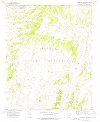
1972 · Steamboat Canyon
USGS Topo · 1:24,000
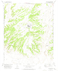
1972 · Toyei School
USGS Topo · 1:24,000
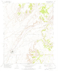
1972 · Greasewood
USGS Topo · 1:24,000