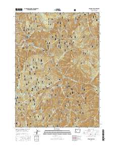
2017 Map of Steamboat
USGS Topo · Published 2017About this map
The North Umpqua River carves a winding path through this portion of the Umpqua National Forest, defining a landscape where water and elevation dictate the human footprint. Centered on the settlement of Steamboat, the map shows a network of forest roads and technical trails like the Flying Pigeon TS and Arlo Leopard TS that navigate the steep drainages. Notable water features include the Steamboat Falls and the dramatic Horseshoe Bend, reflecting the river's geomorphology. High points such as Lookout Mtn, Bachelor Butte, and the jagged Redmans Tooth tower over deep canyons like Black Gorge. Local history is anchored by sites such as Winslow Cabin Spring, while numerous named creeks including Panther Cr and Calf Cr feed the primary river system, supporting the region's long-standing forestry and recreation infrastructure.
Find a feature on this map
90 named features on this map. Tap any name to fly to it.
Don’t see what you’re looking for? This feature index may not catch every label — zoom into the map to look around manually.
Map Details
Editions of this 2017 Steamboat Map
This is the sole edition of this map. No revisions or reprints were ever made.
Other maps of this area

1955 · Quartz Mtn
USGS Topo · 1:62,500

1955 · Red Butte
USGS Topo · 1:62,500

1955 · Mace Mtn
USGS Topo · 1:62,500

1955 · Illahee Rock
USGS Topo · 1:62,500

1958 · Roseburg
USGS Topo · 1:250,000

1959 · Roseburg
USGS Topo · 1:250,000

1978 · Diamond Lake
USGS Topo · 1:100,000
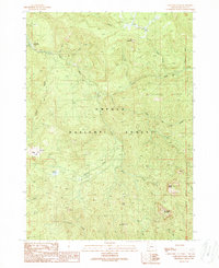
1989 · Taft Mountain
USGS Topo · 1:24,000
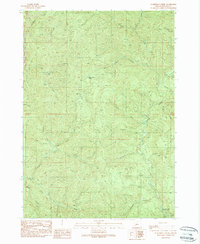
1989 · Scaredman Creek
USGS Topo · 1:24,000
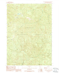
1989 · Twin Lakes Mountain
USGS Topo · 1:24,000