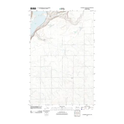
2011 Map of Steamboat Rock SE
USGS Topo · Published 2011About this map
Banks Lake and the prominent basalt formation of Gibraltar Rock anchor this high-desert landscape in Grant County during the early 2010s. The area is defined by its dramatic coulee topography, where seasonal drainages like Devils Creek, Rusho Creek, and Northrup Creek carve through the plateau. A network of named rural roads, such as 51-Ne RD and 48-Ne RD, organizes the dryland terrain, connecting isolated points of interest. One of the most significant landmarks for local history is Saint Johns Cemetery, situated on the open flats. Small water bodies including Willow Lake, Coffee Lake, and Henning Lakes dot the depressions between the coulee walls, while Whitney Canyon provides a distinct break in the elevation in the northwest corner.
Find a feature on this map
16 named features on this map. Tap any name to fly to it.
Don’t see what you’re looking for? This feature index may not catch every label — zoom into the map to look around manually.
Map Details
Editions of this 2011 Steamboat Rock SE Map
This is the sole edition of this map. No revisions or reprints were ever made.
Other maps of this area

1948 · Grand Coulee Dam
USGS Topo · 1:62,500

1950 · Grand Coulee Dam
USGS Topo · 1:62,500

1953 · Ritzville
USGS Topo · 1:250,000

1959 · Ritzville
USGS Topo · 1:250,000

1965 · Ritzville
USGS Topo · 1:250,000

1968 · Steamboat Rock SW
USGS Topo · 1:24,000

1968 · Barker Canyon
USGS Topo · 1:24,000

1968 · Hartline
USGS Topo · 1:24,000

1968 · Steamboat Rock SE
USGS Topo · 1:24,000
1968 · Hartline NW
USGS Topo · 1:24,000