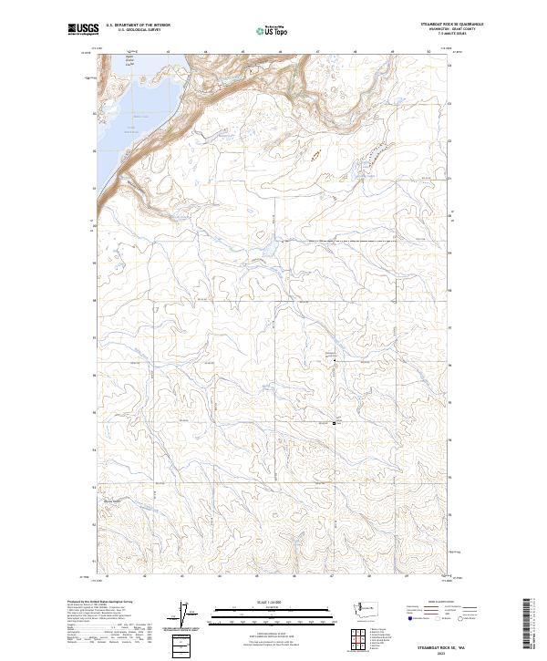
2023 Map of Steamboat Rock SE
USGS Topo · Published 2023About this map
Upper Grand Coulee defines this portion of the Columbia Basin, where the massive waters of Banks Lake are contained within the high basalt walls of the coulee. The landscape is marked by dramatic geological formations like the Devils Punch Bowl and the deeply carved Northrup Canyon. Away from the main coulee, the high plateau is crossed by ephemeral drainages such as Devils Creek and Rusho Creek, which cut through the sagebrush-dominated terrain.
Find a feature on this map
31 named features on this map. Tap any name to fly to it.
Don’t see what you’re looking for? This feature index may not catch every label — zoom into the map to look around manually.
Map Details
Editions of this 2023 Steamboat Rock SE Map
This is the sole edition of this map. No revisions or reprints were ever made.
Other maps of this area

1948 · Grand Coulee Dam
USGS Topo · 1:62,500

1950 · Grand Coulee Dam
USGS Topo · 1:62,500

1953 · Ritzville
USGS Topo · 1:250,000

1959 · Ritzville
USGS Topo · 1:250,000

1965 · Ritzville
USGS Topo · 1:250,000

1968 · Steamboat Rock SW
USGS Topo · 1:24,000

1968 · Barker Canyon
USGS Topo · 1:24,000

1968 · Hartline
USGS Topo · 1:24,000

1968 · Steamboat Rock SE
USGS Topo · 1:24,000
1968 · Hartline NW
USGS Topo · 1:24,000