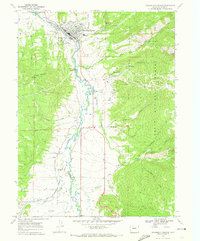
1969 Map of Steamboat Springs
USGS Topo · Published 1972About this map
Steamboat Springs is depicted in the late 1960s as a developing mountain hub, with its downtown footprint clustered along the Yampa River and the Denver and Rio Grande Western railroad. The map highlights the town's transition toward a recreation economy, showing the Steamboat Ski Area on the slopes of the Routt National Forest with lifts like Thunderhead and Four Points already in place. Local landmarks like Howelsen Hill and the Rodeo Ground sit just across the river from the main settlement, emphasizing the community's established sporting roots.
Find a feature on this map
43 named features on this map. Tap any name to fly to it.
Don’t see what you’re looking for? This feature index may not catch every label — zoom into the map to look around manually.
Map Details
Editions of this 1969 Steamboat Springs Map
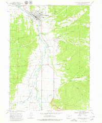
2 editions found
Other maps of this area

1911 · Hahns Peak
USGS Topo · 1:125,000

1913 · Hahns Peak
USGS Topo · 1:125,000

1954 · Craig
USGS Topo · 1:250,000

1955 · Buffalo Pass
USGS Topo · 1:24,000

1955 · Mount Ethel
USGS Topo · 1:62,500

1956 · Storm Mountain
USGS Topo · 1:24,000

1956 · Walton Peak
USGS Topo · 1:24,000

1956 · Rabbit Ears Peak
USGS Topo · 1:62,500

1957 · Craig
USGS Topo · 1:250,000

1958 · Craig
USGS Topo · 1:250,000