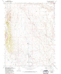
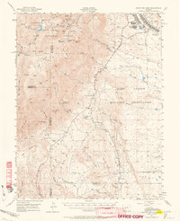
1961 Map of Steele Hollow
USGS Topo · Published 1994About this map
Pueblo West anchor the southern edge of this map, showcasing the planned infrastructure of the late 20th century in Colorado. The landscape is defined by major drainage systems and relief features such as Steele Hollow and Young Hollow, which cut through the terrain toward Wildhorse Creek and Dry Creek. To the west, the boundary of the Fort Carson Military Reservation marks a transition from open prairie into managed federal land. The map reveals the utility-driven development of the era, from the prominent Pipeline corridors and a Radio Tower to the strategic placement of a Pumping Sta and various water tanks. The road network, including Platteville Boulevard and Purcell Boulevard, illustrates the early framework of the region's suburban expansion while maintaining its high-desert character.
Find a feature on this map
15 named features on this map. Tap any name to fly to it.
Don’t see what you’re looking for? This feature index may not catch every label — zoom into the map to look around manually.
Map Details
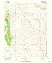
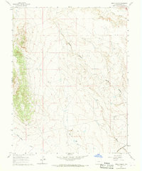
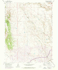
Editions of this 1961 Steele Hollow Map
4 editions found
Other maps of this area

1891 · Pueblo
USGS Topo · 1:125,000

1893 · Colorado Springs
USGS Topo · 1:125,000

1894 · Pueblo
USGS Topo · 1:125,000

1896 · Pueblo
USGS Topo · 1:125,000

1897 · Pueblo
USGS Topo · 1:125,000

1909 · Colorado Springs
USGS Topo · 1:125,000

1942 · Colorado Springs
USGS Topo · 1:125,000

1948 · Timber Mountain
USGS Topo · 1:24,000

1948 · Fountain SE
USGS Topo · 1:24,000
1948 · Mount Big Chief
USGS Topo · 1:62,500