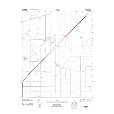
2012 Map of Steele
USGS Topo · Published 2012About this map
Agricultural fields and drainage networks define this portion of the Missouri Bootheel, centered on the city of Steele. The landscape is etched with precise road grids and critical water management features like Ditch Number 5 and the meandering Pemiscot Bayou. This era shows a well-connected rural economy where small settlements such as Holland, Cooter, and Gibson are linked by a dense network of county roads and the diagonal path of the interstate highway.
Find a feature on this map
71 named features on this map. Tap any name to fly to it.
Don’t see what you’re looking for? This feature index may not catch every label — zoom into the map to look around manually.
Map Details
Editions of this 2012 Steele Map
This is the sole edition of this map. No revisions or reprints were ever made.
Other maps of this area

1939 · Hales Point
USGS Topo · 1:62,500

1939 · Caruthersville
USGS Topo · 1:62,500

1939 · Blytheville
USGS Topo · 1:62,500

1940 · Hayti
USGS Topo · 1:62,500

1951 · Caruthersville
USGS Topo · 1:62,500

1952 · Hales Point
USGS Topo · 1:62,500

1955 · Hayti
USGS Topo · 1:62,500

1955 · Blytheville
USGS Topo · 1:62,500

1956 · Dyersburg
USGS Topo · 1:250,000

1956 · Blytheville
USGS Topo · 1:250,000