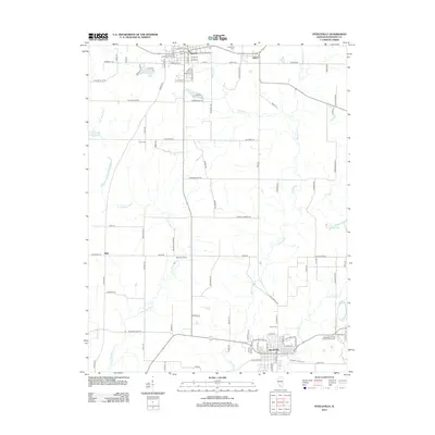
2012 Map of Steeleville
USGS Topo · Published 2012About this map
Sparta and Steeleville anchor the north and south ends of this Randolph County landscape, showing a region defined by agricultural traditions and the complex hydrology of the Marys River system. The map details a network of rural routes and family-connected lands, such as Mahnken Farms, interspersed with historical markers including the Caledonia Cem and Peace Cem. This survey illustrates the proximity of smaller settlements like Eden and Blair to larger hubs, emphasizing the persistence of community centers alongside the region's expanding industrial footprint, noted by the Industrial Park near Steeleville.
Find a feature on this map
100 named features on this map. Tap any name to fly to it.
Don’t see what you’re looking for? This feature index may not catch every label — zoom into the map to look around manually.
Map Details
Editions of this 2012 Steeleville Map
This is the sole edition of this map. No revisions or reprints were ever made.
Other maps of this area

1912 · Baldwin
USGS Topo · 1:62,500

1914 · Baldwin
USGS Topo · 1:62,500

1914 · Coulterville
USGS Topo · 1:62,500

1915 · Chester
USGS Topo · 1:62,500

1916 · Campbell Hill
USGS Topo · 1:62,500

1917 · Coulterville
USGS Topo · 1:62,500

1918 · Campbell Hill
USGS Topo · 1:62,500

1942 · Baldwin
USGS Topo · 1:62,500

1947 · Chester
USGS Topo · 1:62,500

1949 · Paducah
USGS Topo · 1:250,000