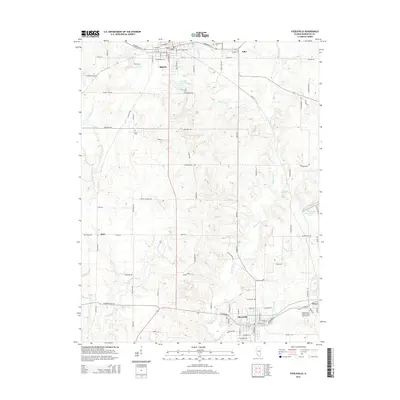
2015 Map of Steeleville
USGS Topo · Published 2015About this map
Sparta and Steeleville anchor this portion of Randolph County, where the dendritic drainage of the Marys River and Little Marys River systems shapes the local topography. In the north, the street grid of Sparta extends toward the Old City Reservoir and City Lake, while the smaller community of Eden sits to the east near Caledonia Cem. The southern reach of the map centers on Steeleville, situated at a junction of regional routes including W Broadway St.
Find a feature on this map
62 named features on this map. Tap any name to fly to it.
Don’t see what you’re looking for? This feature index may not catch every label — zoom into the map to look around manually.
Map Details
Editions of this 2015 Steeleville Map
This is the sole edition of this map. No revisions or reprints were ever made.
Other maps of this area

1912 · Baldwin
USGS Topo · 1:62,500

1914 · Baldwin
USGS Topo · 1:62,500

1914 · Coulterville
USGS Topo · 1:62,500

1915 · Chester
USGS Topo · 1:62,500

1916 · Campbell Hill
USGS Topo · 1:62,500

1917 · Coulterville
USGS Topo · 1:62,500

1918 · Campbell Hill
USGS Topo · 1:62,500

1942 · Baldwin
USGS Topo · 1:62,500

1947 · Chester
USGS Topo · 1:62,500

1949 · Paducah
USGS Topo · 1:250,000