
1937 Map of Steelville
USGS Topo · Published 1937About this map
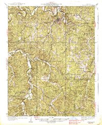
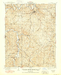
Steelville serves as the focal point of this 1930s landscape, situated where Whittenburg Creek and Yadkin Creek converge. The St. Louis San Francisco railroad dictates the settlement pattern, connecting the county seat to outlying communities such as Keysville, Wesco, and Cook Station. This period survey shows a dense network of local education and faith, with numerous country schools like Peaceful Bend Sch and Houston Sch dotting the countryside alongside rural meeting houses like Pleasant Point Ch. To the south, the terrain transitions into the protected forest of Indian Trail State Park. The map documents numerous family burial sites, including Morrison Cem and Wilkinson Cem, which provide critical reference points for genealogical research in this part of Crawford and Dent Counties.
Find a feature on this map
73 named features on this map. Tap any name to fly to it.
Don’t see what you’re looking for? This feature index may not catch every label — zoom into the map to look around manually.
Map Details
Editions of this 1937 Steelville Map
3 editions found
Other maps of this area

1903 · Sullivan
USGS Topo · 1:125,000

1928 · Meramec Spring
USGS Topo · 1:62,500

1932 · Steelville
USGS Topo · 1:48,000

1933 · Steelville
USGS Topo · 1:62,500

1934 · Redbird
USGS Topo · 1:62,500

1938 · Redbird
USGS Topo · 1:62,500

1941 · Salem
USGS Topo · 1:62,500

1941 · Stone Hill
USGS Topo · 1:62,500

1943 · Berryman
USGS Topo · 1:62,500

1943 · Boss
USGS Topo · 1:62,500