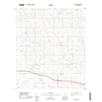
2018 Map of Steelwood Lake
USGS Topo · Published 2018About this map
Loxley and its surrounding wetlands form the heart of this Baldwin County survey, where the Styx River and Blackwater River systems define the low-lying landscape. The area is characterized by an intricate network of waterways including Steelwood Lake, Lake Kendrick, and Bertolli Lake, which feed into the meandering river channels. This late 2010s map illustrates the modern transportation corridors such as the Baldwin Beach Express and Co Rd 64 that now facilitate travel through this historically swampy interior.
Find a feature on this map
74 named features on this map. Tap any name to fly to it.
Don’t see what you’re looking for? This feature index may not catch every label — zoom into the map to look around manually.
Map Details
Editions of this 2018 Steelwood Lake Map
This is the sole edition of this map. No revisions or reprints were ever made.
Other maps of this area

1920 · Robertsdale
USGS Topo · 1:62,500

1921 · Fairhope
USGS Topo · 1:62,500

1940 · Silverhill
USGS Topo · 1:31,680

1941 · Silverhill
USGS Topo · 1:31,680

1941 · Bay Minette
USGS Topo · 1:62,500

1941 · Robertsdale
USGS Topo · 1:62,500

1941 · Fairhope
USGS Topo · 1:62,500
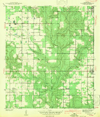
1942 · Silverhill
USGS Topo · 1:31,680

1942 · Dyas
USGS Topo · 1:62,500

1943 · Robertsdale
USGS Topo · 1:62,500