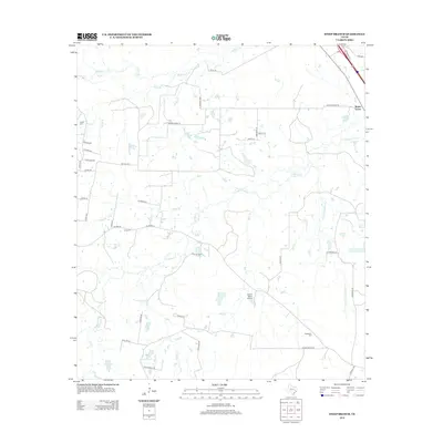
2013 Map of Steep Branch
USGS Topo · Published 2013About this map
Mossy Grove sits at the northeastern edge of this Walker County landscape, situated near the intersection of Interstate 45 and FM 2989. The terrain is defined by a dense network of tributaries including S Bedias Cr, Steep Br, and Brushy Cr, which feed into numerous small water bodies such as Haynes Lake and Guerrant-Adams Company Lake. This 2013 survey reveals a rural infrastructure of winding county roads like Round Prairie Rd and Red Hill Rd, connecting scattered family residences and agricultural properties.
Find a feature on this map
53 named features on this map. Tap any name to fly to it.
Don’t see what you’re looking for? This feature index may not catch every label — zoom into the map to look around manually.
Map Details
Editions of this 2013 Steep Branch Map
This is the sole edition of this map. No revisions or reprints were ever made.
Other maps of this area

1954 · Beaumont
USGS Topo · 1:250,000

1957 · Beaumont
USGS Topo · 1:250,000

1961 · Singleton
USGS Topo · 1:24,000

1962 · Connor
USGS Topo · 1:24,000

1962 · Galilee
USGS Topo · 1:24,000

1962 · Baker Lake
USGS Topo · 1:24,000

1963 · Bedias
USGS Topo · 1:24,000

1963 · Steep Branch
USGS Topo · 1:24,000

1963 · Crabbs Prairie
USGS Topo · 1:24,000

1963 · Madisonville
USGS Topo · 1:24,000