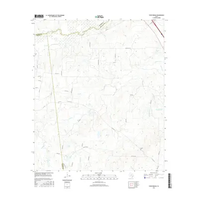
2016 Map of Steep Branch
USGS Topo · Published 2016About this map
Bedias Cr and its winding tributaries define this rural landscape at the meeting point of Walker, Grimes, and Madison Counties. The area is characterized by an intricate network of creeks, including Steep Br, Sulphur Cr, and Bear Cr, which feed into numerous private and company-owned reservoirs. Notable among these are Guerrant-Adams Company Lake and the larger Ubanoski Lake to the southwest.
Find a feature on this map
53 named features on this map. Tap any name to fly to it.
Don’t see what you’re looking for? This feature index may not catch every label — zoom into the map to look around manually.
Map Details
Editions of this 2016 Steep Branch Map
This is the sole edition of this map. No revisions or reprints were ever made.
Other maps of this area

1954 · Beaumont
USGS Topo · 1:250,000

1957 · Beaumont
USGS Topo · 1:250,000

1961 · Singleton
USGS Topo · 1:24,000

1962 · Connor
USGS Topo · 1:24,000

1962 · Galilee
USGS Topo · 1:24,000

1962 · Baker Lake
USGS Topo · 1:24,000

1963 · Bedias
USGS Topo · 1:24,000

1963 · Steep Branch
USGS Topo · 1:24,000

1963 · Crabbs Prairie
USGS Topo · 1:24,000

1963 · Madisonville
USGS Topo · 1:24,000