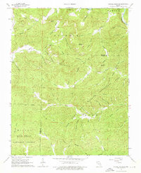
1965 Map of Stegall Mountain
USGS Topo · Published 1976About this map
Stegall Mountain and Mule Mountain dominate this landscape within the Ozark Highlands, where the Peck Ranch State Wildlife Management Area and Mark Twain National Forest converge. This mid-1960s survey captures the intersection of Shannon and Carter counties, defined by a complex network of hollows such as Wildcat Hollow and Winding Stairs Hollow. The drainage of Rocky Creek flows toward the Current River, passing the notable Rocky Falls. Local history is anchored by the Horner Ch and Reed Cem, while evidence of earlier industrial activity persists at a labeled Mine and a Lookout Tower on the heights. The topography reflects a deeply dissected plateau, where narrow ridges separate named peaks like Shut-in Mountain and Thorny Mountain, and a Landing Field provides a point of modern utility in the secluded terrain.
Find a feature on this map
57 named features on this map. Tap any name to fly to it.
Don’t see what you’re looking for? This feature index may not catch every label — zoom into the map to look around manually.
Map Details
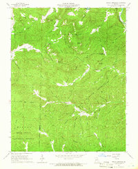
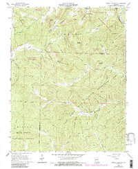
Editions of this 1965 Stegall Mountain Map
3 editions found
Other maps of this area

1915 · Eminence
USGS Topo · 1:62,500

1917 · Eminence
USGS Topo · 1:62,500

1928 · Cardareva
USGS Topo · 1:62,500

1931 · Bandyville
USGS Topo · 1:48,000

1944 · Van Buren
USGS Topo · 1:62,500

1944 · Birch Tree
USGS Topo · 1:62,500

1946 · Van Buren
USGS Topo · 1:62,500

1948 · Birch Tree
USGS Topo · 1:62,500

1949 · Rolla
USGS Topo · 1:250,000

1949 · Cardareva
USGS Topo · 1:62,500