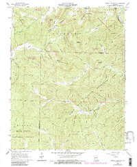
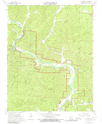
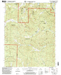
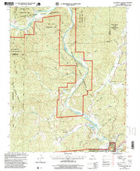
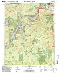
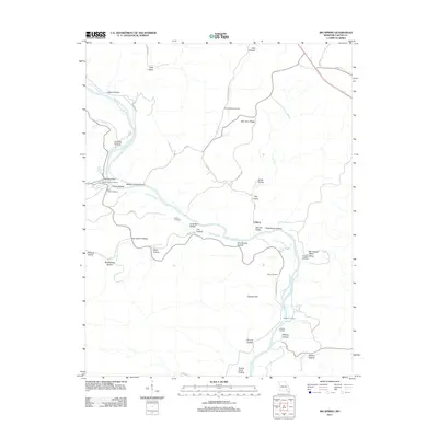
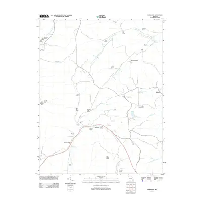
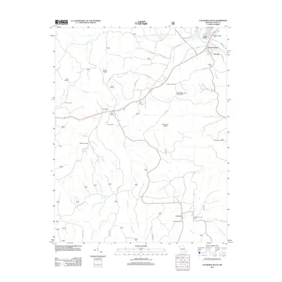
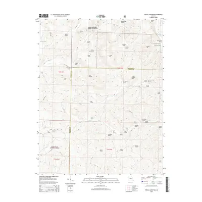
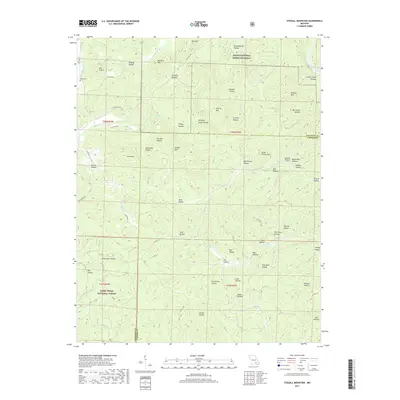
1965 Map of Stegall Mountain
USGS Topo · Published 1985About this map
Stegall Mountain and the surrounding highlands of the Missouri Ozarks dominate this mid-century landscape, marked by a vast network of conservation lands across the border of Shannon and Carter counties. The rugged geography is defined by numerous named hollows, such as Winding Stairs Hollow and Mud Spring Hollow, that drain into major watercourses like the Current River and Rocky Creek. The presence of Rocky Falls and a Lookout Tower atop the peaks suggests a terrain valued for its vantage points and natural features during this era of forest management.
Find a feature on this map
56 named features on this map. Tap any name to fly to it.
Don’t see what you’re looking for? This feature index may not catch every label — zoom into the map to look around manually.
Map Details
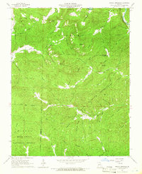
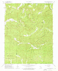
Editions of this 1965 Stegall Mountain Map
3 editions found
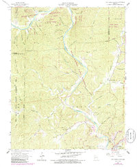
Historical Maps of Shannon County Through Time
33 maps found
1965 Stegall Mountain
Carter County, MO
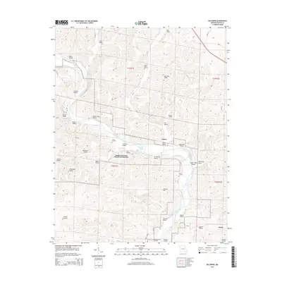
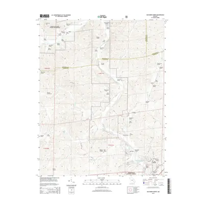
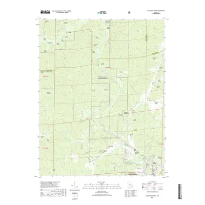
1965 Van Buren North
Carter County, MO
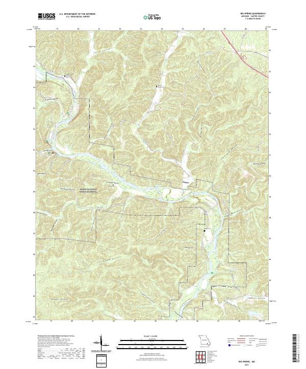
1968 Big Spring
Carter County, MO
1968 Ellington SE
Carter County, MO
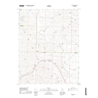
1968 Garwood
Carter County, MO
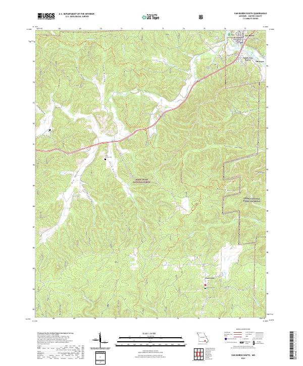
1968 Van Buren South
Carter County, MO
1997 Stegall Mountain
Carter County, MO
1997 Van Buren North
Carter County, MO
1997 Van Buren South
Carter County, MO
2011 Big Spring
Carter County, MO
2011 Garwood
Carter County, MO
2011 Stegall Mountain
Carter County, MO
2011 Van Buren North
Carter County, MO
2012 Ellington SE
Carter County, MO
2012 Van Buren South
Carter County, MO
2015 Big Spring
Carter County, MO
2015 Ellington SE
Carter County, MO
2015 Garwood
Carter County, MO
2015 Stegall Mountain
Carter County, MO
2015 Van Buren North
Carter County, MO
2015 Van Buren South
Carter County, MO
2017 Big Spring
Carter County, MO

2017 Ellington SE
Carter County, MO
2017 Garwood
Carter County, MO
2017 Stegall Mountain
Carter County, MO
2017 Van Buren North
Carter County, MO

2019 Van Buren South
Carter County, MO
2021 Big Spring
Carter County, MO
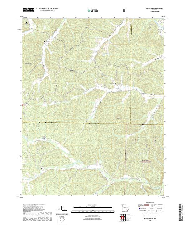
2021 Ellington SE
Carter County, MO
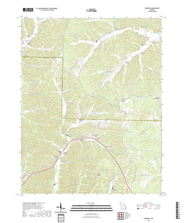
2021 Garwood
Carter County, MO
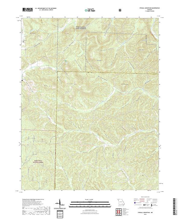
2021 Stegall Mountain
Carter County, MO
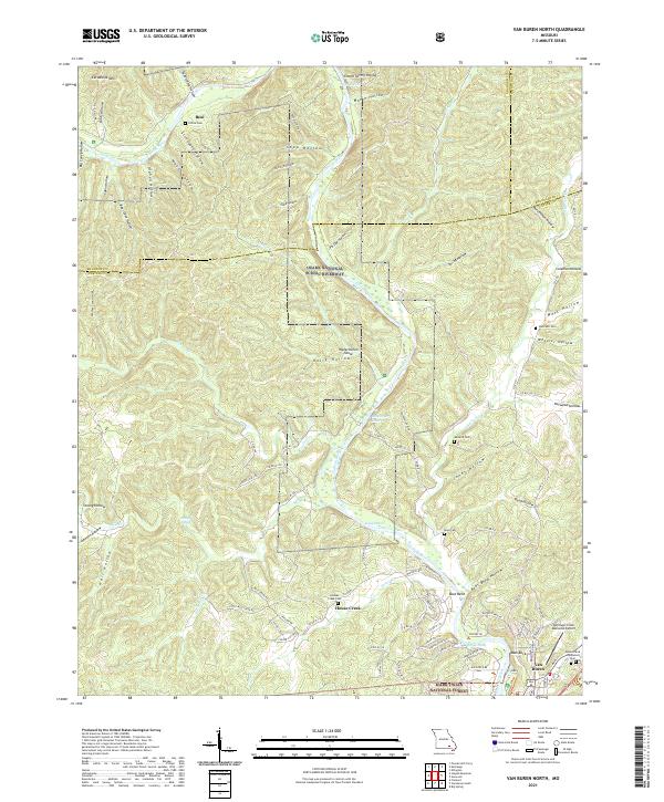
2021 Van Buren North
Carter County, MO
2021 Van Buren South
Carter County, MO