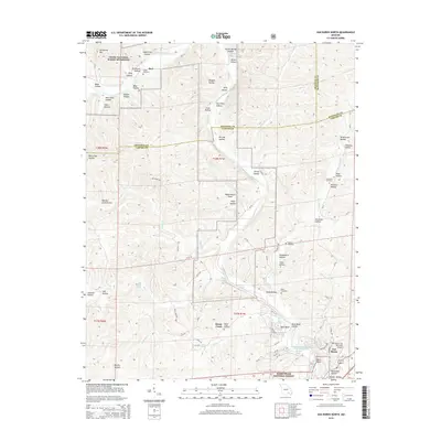
1968 Map of Garwood
USGS Topo · Published 1985About this map
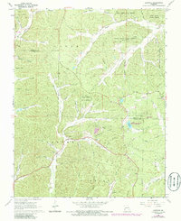
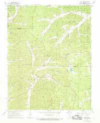
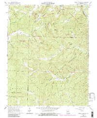
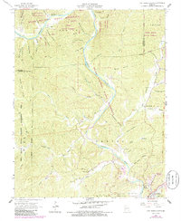
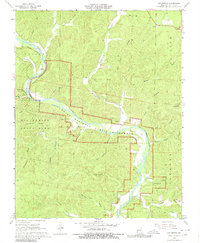
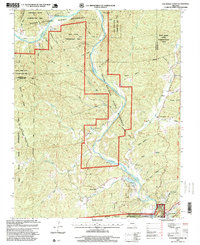
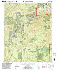
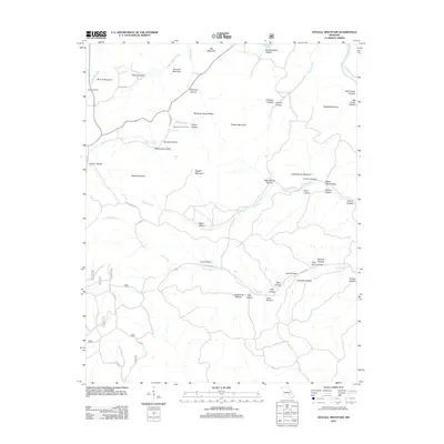
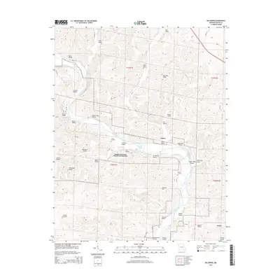
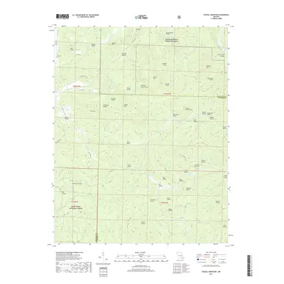
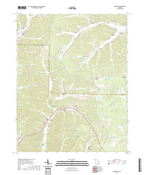
Deep Ozark hollows and managed woodlands dominate the landscape of Logan, Carter, and Jackson townships in the late 1960s. The settlement of Garwood sits at the eastern edge of the quadrangle, characterized by the Garwood Lookout Tower and nearby public recreation sites like the Miller Community Lake State Wildlife Area. This area is a patchwork of conservation lands, including the Webb Creek State Forest, Paint Rock State Forest, and Deer Run State Forest, reflecting a mid-century emphasis on timber and resource management. Small-scale industrial activity is evidenced by scattered Mines north of the Webb Creek State Forest boundary.
Find a feature on this map
59 named features on this map. Tap any name to fly to it.
Don’t see what you’re looking for? This feature index may not catch every label — zoom into the map to look around manually.
Map Details
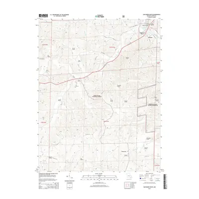
Editions of this 1968 Garwood Map
2 editions found
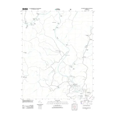
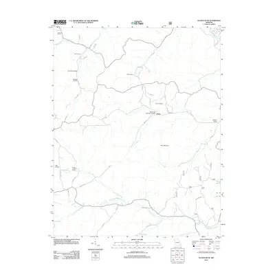
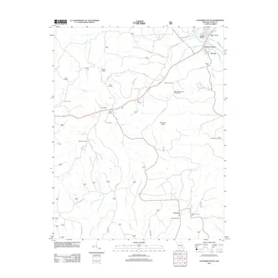
Historical Maps of Keeney Corner Through Time
33 maps found
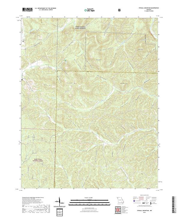
1965 Stegall Mountain
Carter County, MO
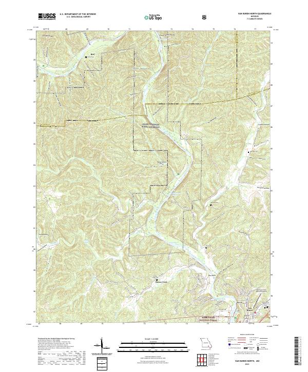
1965 Van Buren North
Carter County, MO
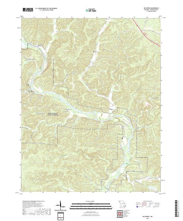
1968 Big Spring
Carter County, MO
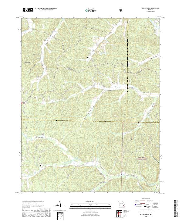
1968 Ellington SE
Carter County, MO
1968 Garwood
Carter County, MO
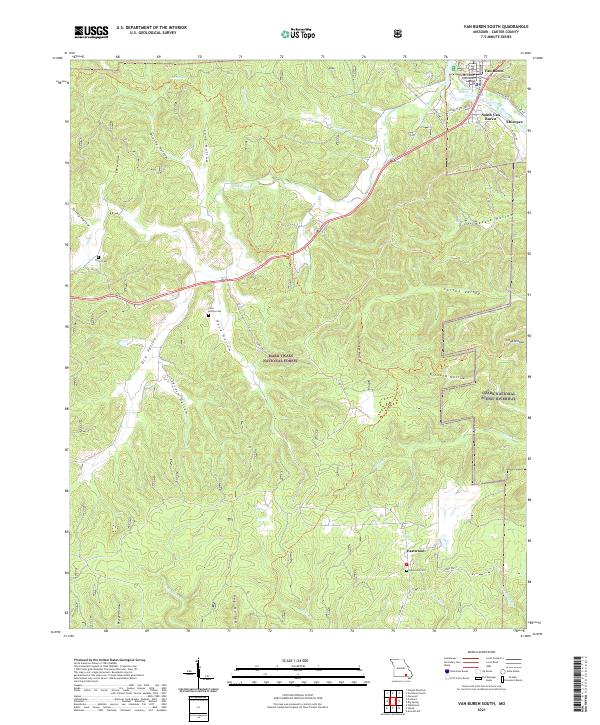
1968 Van Buren South
Carter County, MO
1997 Stegall Mountain
Carter County, MO
1997 Van Buren North
Carter County, MO
1997 Van Buren South
Carter County, MO
2011 Big Spring
Carter County, MO
2011 Garwood
Carter County, MO
2011 Stegall Mountain
Carter County, MO
2011 Van Buren North
Carter County, MO
2012 Ellington SE
Carter County, MO
2012 Van Buren South
Carter County, MO
2015 Big Spring
Carter County, MO
2015 Ellington SE
Carter County, MO
2015 Garwood
Carter County, MO
2015 Stegall Mountain
Carter County, MO
2015 Van Buren North
Carter County, MO
2015 Van Buren South
Carter County, MO
2017 Big Spring
Carter County, MO

2017 Ellington SE
Carter County, MO
2017 Garwood
Carter County, MO
2017 Stegall Mountain
Carter County, MO
2017 Van Buren North
Carter County, MO

2019 Van Buren South
Carter County, MO
2021 Big Spring
Carter County, MO
2021 Ellington SE
Carter County, MO
2021 Garwood
Carter County, MO
2021 Stegall Mountain
Carter County, MO
2021 Van Buren North
Carter County, MO
2021 Van Buren South
Carter County, MO