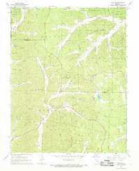
1968 Map of Garwood
USGS Topo · Published 1969About this map
Bozarth State Forest dominates much of this late-1960s landscape, illustrating a heavily timbered region of the Ozarks transition between Reynolds and Carter Counties. The settlement of Garwood is the primary hub, where the Garwood Lookout Tower stands as a focal point for forestry management. The map reveals a community structured around its watercourses and small rural institutions, including the Drive-in Theater situated just south of the county line, and local congregations at Young Ch and Liberty Ch.
Find a feature on this map
60 named features on this map. Tap any name to fly to it.
Don’t see what you’re looking for? This feature index may not catch every label — zoom into the map to look around manually.
Map Details
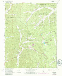
Editions of this 1968 Garwood Map
2 editions found
Other maps of this area

1928 · Cardareva
USGS Topo · 1:62,500

1943 · Ellington
USGS Topo · 1:62,500

1944 · Van Buren
USGS Topo · 1:62,500

1944 · Grandin
USGS Topo · 1:62,500

1945 · Ellington
USGS Topo · 1:62,500

1946 · Grandin
USGS Topo · 1:62,500

1946 · Van Buren
USGS Topo · 1:62,500

1949 · Rolla
USGS Topo · 1:250,000

1949 · Cardareva
USGS Topo · 1:62,500

1953 · Rolla
USGS Topo · 1:250,000