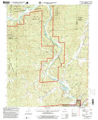
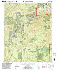
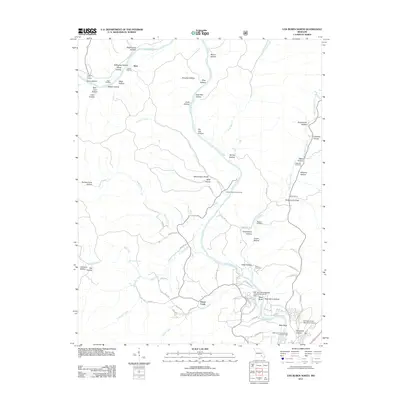
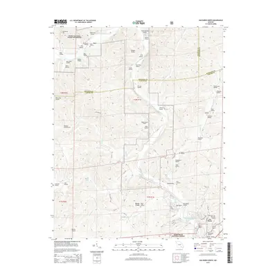
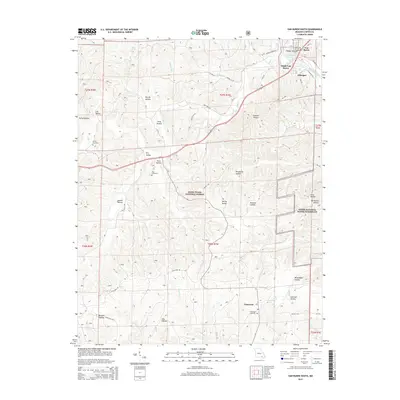
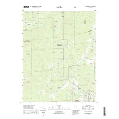
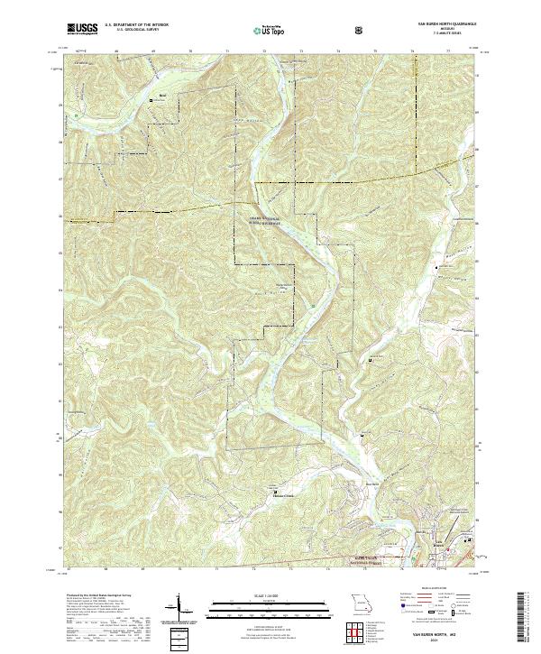
1997 Map of Van Buren North
USGS Topo · Published 1999About this map
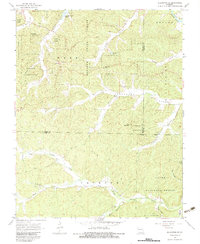
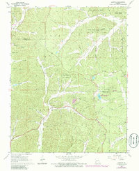
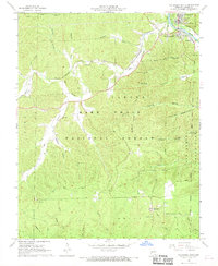
Current River defines the central axis of this landscape, carving a deep valley through the limestone hills of the Missouri Ozarks. This area, updated in the late 1990s, is characterized by a dense network of conservation lands including the Cardareva State Conservation Area and the Beal State Conservation Area. Small settlements like Beal and Norwood appear alongside numerous family burial grounds such as Collins Cemetery and Maberry Cemetery, which provide valuable data for genealogists. The terrain is marked by significant hydrological features, from the dramatic Boat Bend to thermal and freshwater outflows like Hot Spring and Mill Creek Spring. On the southern edge, the Bollinger-Crass Memorial Airport serves as a modern landmark near the edge of Van Buren, contrasting with the more primitive reaches of the Mark Twain National Forest.
Find a feature on this map
34 named features on this map. Tap any name to fly to it.
Don’t see what you’re looking for? This feature index may not catch every label — zoom into the map to look around manually.
Map Details
Editions of this 1997 Van Buren North Map
This is the sole edition of this map. No revisions or reprints were ever made.
Historical Maps of Van Buren Through Time
33 maps found
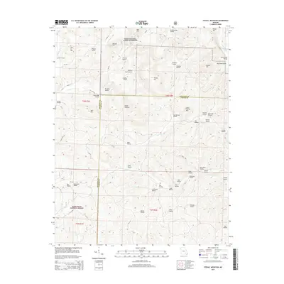
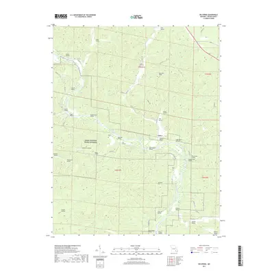
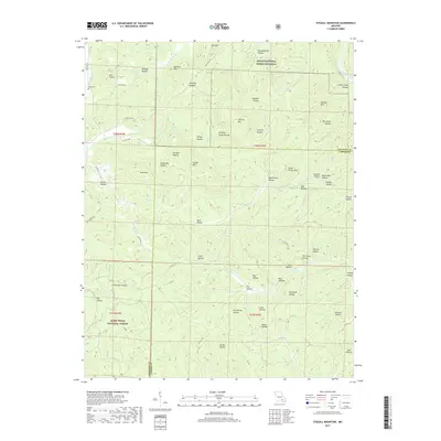
1965 Stegall Mountain
Carter County, MO
1965 Van Buren North
Carter County, MO
1968 Big Spring
Carter County, MO
1968 Ellington SE
Carter County, MO
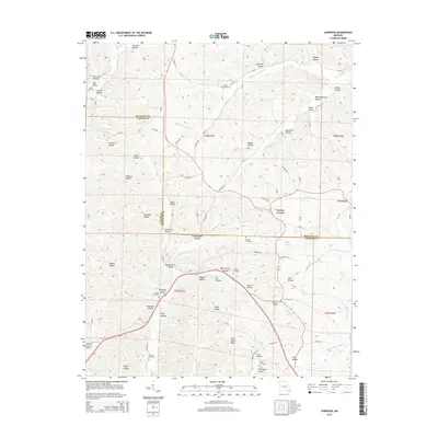
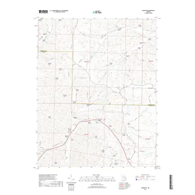
1968 Garwood
Carter County, MO
1968 Van Buren South
Carter County, MO
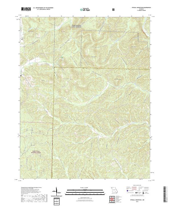
1997 Stegall Mountain
Carter County, MO
1997 Van Buren North
Carter County, MO
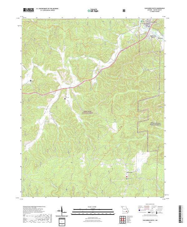
1997 Van Buren South
Carter County, MO
2011 Big Spring
Carter County, MO
2011 Garwood
Carter County, MO
2011 Stegall Mountain
Carter County, MO
2011 Van Buren North
Carter County, MO
2012 Ellington SE
Carter County, MO
2012 Van Buren South
Carter County, MO
2015 Big Spring
Carter County, MO
2015 Ellington SE
Carter County, MO
2015 Garwood
Carter County, MO
2015 Stegall Mountain
Carter County, MO
2015 Van Buren North
Carter County, MO
2015 Van Buren South
Carter County, MO
2017 Big Spring
Carter County, MO

2017 Ellington SE
Carter County, MO
2017 Garwood
Carter County, MO
2017 Stegall Mountain
Carter County, MO
2017 Van Buren North
Carter County, MO

2019 Van Buren South
Carter County, MO
2021 Big Spring
Carter County, MO
2021 Ellington SE
Carter County, MO
2021 Garwood
Carter County, MO
2021 Stegall Mountain
Carter County, MO
2021 Van Buren North
Carter County, MO
2021 Van Buren South
Carter County, MO