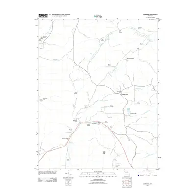
2011 Map of Garwood
USGS Topo · Published 2011About this map
Garwood and Keeney Corner anchor this portion of Reynolds County, where the landscape is defined by an intricate network of hollows and watercourses. The local drainage pattern is dominated by the Middle Fork Webb Creek and South Fork Webb Creek in the north, while Carter Creek and its Right Fork Carter Creek carve through the central and southern reaches. This 2011 survey reveals a deeply established rural community, evidenced by the high density of family and community burial grounds, including the Smith Cemetery, Odell Cemetery, Sheets Cemetery, and Brame Cemetery.
Find a feature on this map
86 named features on this map. Tap any name to fly to it.
Don’t see what you’re looking for? This feature index may not catch every label — zoom into the map to look around manually.
Map Details
Editions of this 2011 Garwood Map
This is the sole edition of this map. No revisions or reprints were ever made.
Other maps of this area

1928 · Cardareva
USGS Topo · 1:62,500

1943 · Ellington
USGS Topo · 1:62,500

1944 · Van Buren
USGS Topo · 1:62,500

1944 · Grandin
USGS Topo · 1:62,500

1945 · Ellington
USGS Topo · 1:62,500

1946 · Grandin
USGS Topo · 1:62,500

1946 · Van Buren
USGS Topo · 1:62,500

1949 · Rolla
USGS Topo · 1:250,000

1949 · Cardareva
USGS Topo · 1:62,500

1953 · Rolla
USGS Topo · 1:250,000