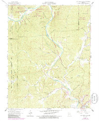
1965 Map of Van Buren North
USGS Topo · Published 1985About this map
The Current River defines the landscape of this northern section of Carter County, winding through the Ozark National Scenic Riverways. In the mid-1960s, the area remained a network of forested hollows and small settlements such as House Creek and Norwood. To the north, large tracts of protected land including Cardareva State Forest, Beal State Forest, and Paint Rock State Forest preserve the timbered character of the region. Local genealogy is well-documented through numerous family-named landmarks and resting places, such as Collins Cem, Beal Cem, and Maberry Cem. Near the southern boundary, the town of Van Buren serves as a hub, marked by the Bollinger-Crass Mem Airport and the local Bible Ch. The map reveals a transition from these small river valley homesteads to the expansive Mark Twain National Forest.
Find a feature on this map
64 named features on this map. Tap any name to fly to it.
Don’t see what you’re looking for? This feature index may not catch every label — zoom into the map to look around manually.
Map Details
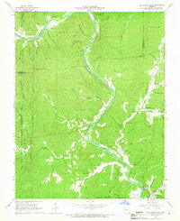
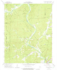
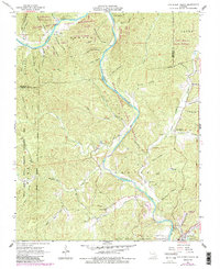
Editions of this 1965 Van Buren North Map
4 editions found
Other maps of this area

1928 · Cardareva
USGS Topo · 1:62,500

1943 · Ellington
USGS Topo · 1:62,500

1944 · Van Buren
USGS Topo · 1:62,500

1944 · Grandin
USGS Topo · 1:62,500

1945 · Ellington
USGS Topo · 1:62,500

1946 · Grandin
USGS Topo · 1:62,500

1946 · Van Buren
USGS Topo · 1:62,500

1949 · Rolla
USGS Topo · 1:250,000

1949 · Cardareva
USGS Topo · 1:62,500

1953 · Rolla
USGS Topo · 1:250,000