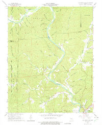
1965 Map of Van Buren North
USGS Topo · Published 1975About this map
The Current River defines the landscape of this northern Carter County region, carving a deep winding path through the Ozark hills. In the mid-1960s, this area was characterized by its public lands and scattered rural communities, with the Peck Ranch State Wildlife Management Area occupying the western reaches and the Mark Twain National Forest bordering the river to the south. The small settlement of House Creek and the northern outskirts of Van Buren provide anchors for local history, while names like Beal and House suggest the early footprints of the community. Genealogists can find several family-named burial sites throughout the hollows, including Collins Cem, Maberry Cem, and Galbraith Cem. The terrain is famously porous, featuring prominent springs such as Mill Creek Spring and geological landmarks like Richbark Cave, which highlight the region's complex karst topography.
Find a feature on this map
61 named features on this map. Tap any name to fly to it.
Don’t see what you’re looking for? This feature index may not catch every label — zoom into the map to look around manually.
Map Details
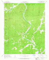
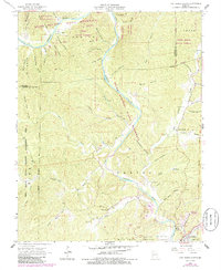
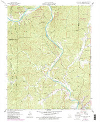
Editions of this 1965 Van Buren North Map
4 editions found
Other maps of this area

1928 · Cardareva
USGS Topo · 1:62,500

1943 · Ellington
USGS Topo · 1:62,500

1944 · Van Buren
USGS Topo · 1:62,500

1944 · Grandin
USGS Topo · 1:62,500

1945 · Ellington
USGS Topo · 1:62,500

1946 · Grandin
USGS Topo · 1:62,500

1946 · Van Buren
USGS Topo · 1:62,500

1949 · Rolla
USGS Topo · 1:250,000

1949 · Cardareva
USGS Topo · 1:62,500

1953 · Rolla
USGS Topo · 1:250,000