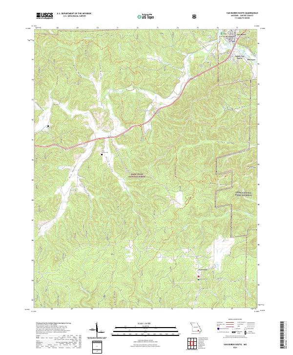
2021 Map of Van Buren South
USGS Topo · Published 2021About this map
The Current River winds through the heart of this Ozark landscape, serving as the central artery for the riverfront communities of Van Buren, South Van Buren, and Chicopee. This 2021 survey illustrates the civic importance of the Carter County Courthouse and documents a region defined by its protected lands, including the Mark Twain National Forest and the Ozark National Scenic Riverway. The terrain is characterized by a series of narrow valleys and hollows, such as Dry Valley and Secesh Hollow, which guide local travel and settlement patterns.
Find a feature on this map
49 named features on this map. Tap any name to fly to it.
Don’t see what you’re looking for? This feature index may not catch every label — zoom into the map to look around manually.
Map Details
Editions of this 2021 Van Buren South Map
This is the sole edition of this map. No revisions or reprints were ever made.
Other maps of this area

1928 · Cardareva
USGS Topo · 1:62,500

1943 · Ellington
USGS Topo · 1:62,500

1944 · Van Buren
USGS Topo · 1:62,500

1944 · Grandin
USGS Topo · 1:62,500

1945 · Ellington
USGS Topo · 1:62,500

1946 · Grandin
USGS Topo · 1:62,500

1946 · Van Buren
USGS Topo · 1:62,500

1949 · Rolla
USGS Topo · 1:250,000

1949 · Cardareva
USGS Topo · 1:62,500

1953 · Rolla
USGS Topo · 1:250,000