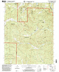
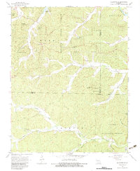
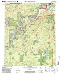
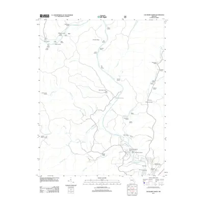
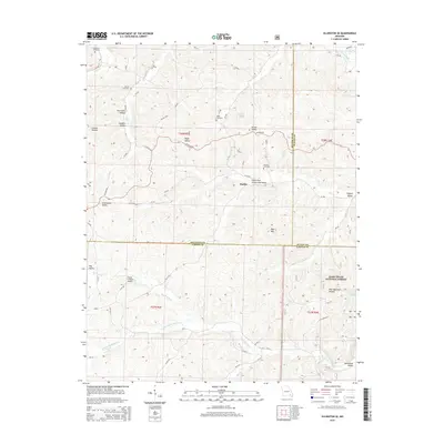
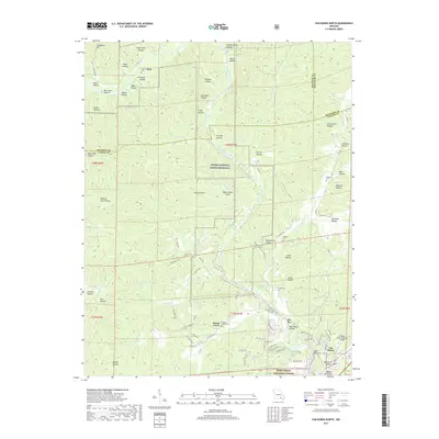
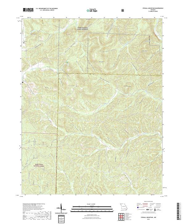
1997 Map of Stegall Mountain
USGS Topo · Published 2000About this map
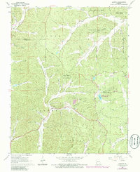
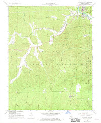
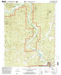
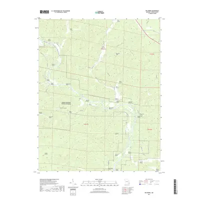
Stegall Mountain and Mule Mountain dominate this heavily forested landscape in the Missouri Ozarks, situated along the Shannon Co Carter Co line. The map captures a region defined by complex conservation efforts, showing the boundaries of the Peck Ranch State Conservation Area and the Rocky Creek State Conservation Area. To the north, the National Scenic Riverways protects the corridor of the Current River, while the Mark Twain National Forest occupies the southwestern quadrant. Deep within the hollows, human history is visible at Reed Cemetery and the Horner Church. Notable geographic features like the cascading Rocky Falls and the recreational path of the Ozark Trail highlight the intersection of natural beauty and outdoor access in late 20th-century Missouri. A solitary Mine near Thorny Mountain points to the area's geological and industrial history.
Find a feature on this map
54 named features on this map. Tap any name to fly to it.
Don’t see what you’re looking for? This feature index may not catch every label — zoom into the map to look around manually.
Map Details
Editions of this 1997 Stegall Mountain Map
This is the sole edition of this map. No revisions or reprints were ever made.
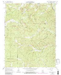
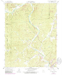
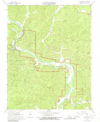
Historical Maps of Shannon County Through Time
33 maps found
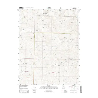
1965 Stegall Mountain
Carter County, MO
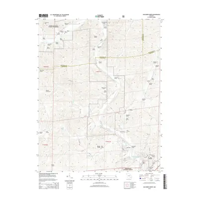
1965 Van Buren North
Carter County, MO
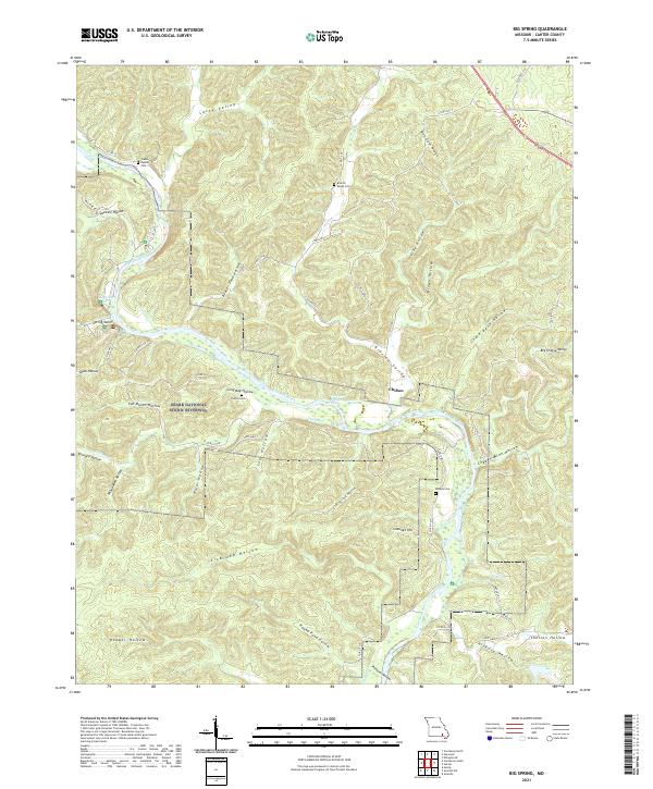
1968 Big Spring
Carter County, MO
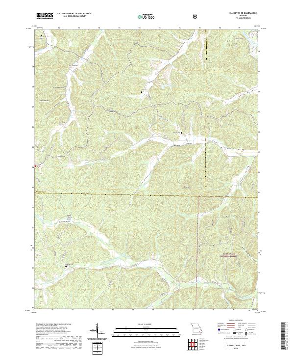
1968 Ellington SE
Carter County, MO
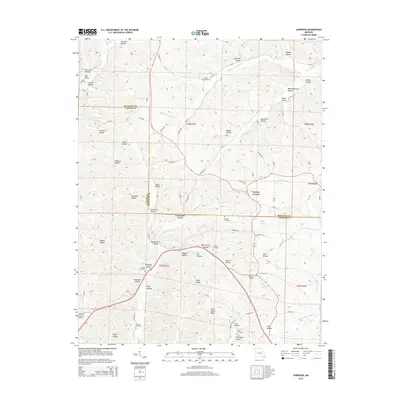
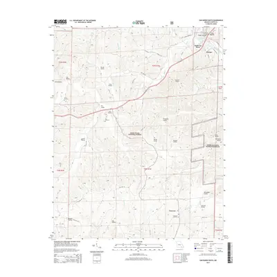
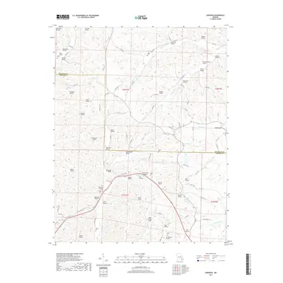
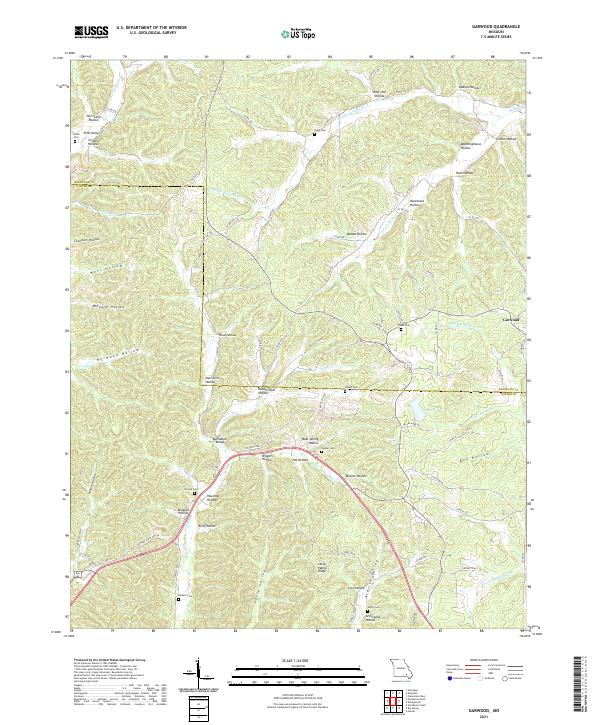
1968 Garwood
Carter County, MO
1968 Van Buren South
Carter County, MO
1997 Stegall Mountain
Carter County, MO
1997 Van Buren North
Carter County, MO
1997 Van Buren South
Carter County, MO
2011 Big Spring
Carter County, MO
2011 Garwood
Carter County, MO
2011 Stegall Mountain
Carter County, MO
2011 Van Buren North
Carter County, MO
2012 Ellington SE
Carter County, MO
2012 Van Buren South
Carter County, MO
2015 Big Spring
Carter County, MO
2015 Ellington SE
Carter County, MO
2015 Garwood
Carter County, MO
2015 Stegall Mountain
Carter County, MO
2015 Van Buren North
Carter County, MO
2015 Van Buren South
Carter County, MO
2017 Big Spring
Carter County, MO

2017 Ellington SE
Carter County, MO
2017 Garwood
Carter County, MO
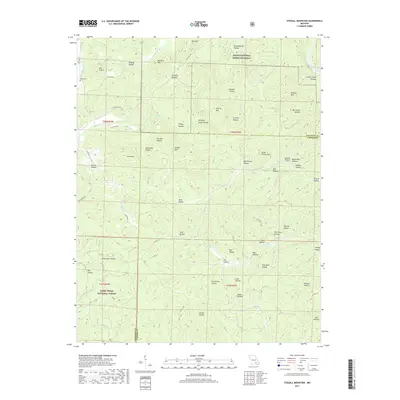
2017 Stegall Mountain
Carter County, MO
2017 Van Buren North
Carter County, MO

2019 Van Buren South
Carter County, MO
2021 Big Spring
Carter County, MO
2021 Ellington SE
Carter County, MO
2021 Garwood
Carter County, MO
2021 Stegall Mountain
Carter County, MO
2021 Van Buren North
Carter County, MO
2021 Van Buren South
Carter County, MO