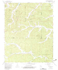
1968 Map of Ellington SE
USGS Topo · Published 1983About this map
Bozarth State Forest and Clark National Forest dominate this terrain in the late 1960s, reflecting a landscape defined by timber and protected lands across the Carter, Reynolds, and Wayne county lines. The northern reaches are shaped by the waters of Clearwater Lake and the Black River, while the southern interior is carved by Big Brushy Creek and its many tributaries. This area shows a sparse settlement pattern centered around the community of Hadley and several rural churches like Roland Ch and Oak Grove Ch.
Find a feature on this map
41 named features on this map. Tap any name to fly to it.
Don’t see what you’re looking for? This feature index may not catch every label — zoom into the map to look around manually.
Map Details
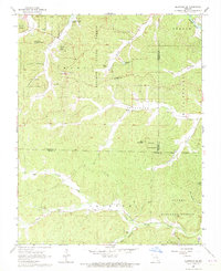
Editions of this 1968 Ellington SE Map
2 editions found
Other maps of this area

1932 · Piedmont
USGS Topo · 1:62,500

1934 · Williamsville
USGS Topo · 1:48,000

1935 · Piedmont
USGS Topo · 1:62,500

1940 · Williamsville
USGS Topo · 1:62,500

1943 · Ellington
USGS Topo · 1:62,500

1944 · Grandin
USGS Topo · 1:62,500

1945 · Ellington
USGS Topo · 1:62,500

1946 · Grandin
USGS Topo · 1:62,500

1949 · Rolla
USGS Topo · 1:250,000

1953 · Rolla
USGS Topo · 1:250,000