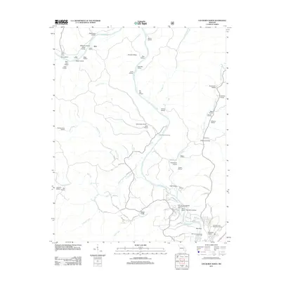
2011 Map of Van Buren North
USGS Topo · Published 2011About this map
The Current River winds through this landscape north of Van Buren, defining the drainage patterns for numerous steep hollows and springs. Settlement is concentrated along small plateaus and river access points, including the community of Beal and the Logyard River Access. The area is marked by a deep genealogical record found in local burying grounds such as Collins Cemetery, Galbraith Cemetery, and Reed Cemetery.
Find a feature on this map
81 named features on this map. Tap any name to fly to it.
Don’t see what you’re looking for? This feature index may not catch every label — zoom into the map to look around manually.
Map Details
Editions of this 2011 Van Buren North Map
This is the sole edition of this map. No revisions or reprints were ever made.
Other maps of this area

1928 · Cardareva
USGS Topo · 1:62,500

1943 · Ellington
USGS Topo · 1:62,500

1944 · Van Buren
USGS Topo · 1:62,500

1944 · Grandin
USGS Topo · 1:62,500

1945 · Ellington
USGS Topo · 1:62,500

1946 · Grandin
USGS Topo · 1:62,500

1946 · Van Buren
USGS Topo · 1:62,500

1949 · Rolla
USGS Topo · 1:250,000

1949 · Cardareva
USGS Topo · 1:62,500

1953 · Rolla
USGS Topo · 1:250,000