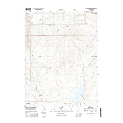
2014 Map of Steinaker Reservoir
USGS Topo · Published 2014About this map
Steinaker Reservoir dominates the southern landscape of this Uintah County survey, serving as a hub for an intricate network of water management features including the Steinaker Ditch, Highline Canal, and the Steinaker Service Canal. To the north, the boundary of the Ashley National Forest marks a transition into higher elevations where natural features like Ashley Spring and Merkley Spring emerge from the canyons. Industrial activity is evident on the eastern edge at the Stauffer Chemical Tailings Pond N, while a Coal Mine sits in the southwest within the Coal Mine Basin. The presence of the Drive Through the Ages Geological Area along Us-191 highlights the unique stratigraphy of this region, providing a modern layer to the historical land use patterns defined by ranching and mineral extraction.
Find a feature on this map
45 named features on this map. Tap any name to fly to it.
Don’t see what you’re looking for? This feature index may not catch every label — zoom into the map to look around manually.
Map Details
Editions of this 2014 Steinaker Reservoir Map
This is the sole edition of this map. No revisions or reprints were ever made.
Other maps of this area

1885 · Ashley
USGS Topo · 1:250,000

1906 · Marsh Peak
USGS Topo · 1:125,000

1907 · Jensen
USGS Topo · 1:125,000

1908 · Marsh Peak
USGS Topo · 1:125,000

1910 · Jensen
USGS Topo · 1:125,000

1917 · Vernal
USGS Topo · 1:125,000

1950 · Burnt Cabin Gorge
USGS Topo · 1:24,000

1950 · Dyer Mountain
USGS Topo · 1:24,000

1954 · Vernal
USGS Topo · 1:250,000

1958 · Vernal
USGS Topo · 1:250,000