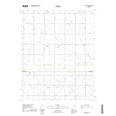
2018 Map of Steinerts Lake
USGS Topo · Published 2018About this map
Lyon Valley Cem and Bison Cem anchor the landscape of this southern Garfield County region, where the prairie is dissected by an intricate network of waterways. The terrain is defined by the drainage basins of Rock Cr, Skeleton Cr, and Crooked Cr, which meander through a strictly partitioned section-line road system. Centrally located, Steinerts Lake serves as a prominent local water feature alongside the ephemeral Dry Cr. The map reveals a transition from the agricultural heartland of Garfield County into northern Kingfisher County, marked by the east-west boundary just south of a Private Runway. This survey documents a quiet rural corridor where small family cemeteries and long-established section roads like Sumner Rd and Bison Rd trace the path of earlier homesteading and community settlement patterns.
Find a feature on this map
48 named features on this map. Tap any name to fly to it.
Don’t see what you’re looking for? This feature index may not catch every label — zoom into the map to look around manually.
Map Details
Editions of this 2018 Steinerts Lake Map
This is the sole edition of this map. No revisions or reprints were ever made.
Other maps of this area

1893 · Lovell
USGS Topo · 1:62,500

1893 · Hennessey
USGS Topo · 1:62,500

1955 · Enid
USGS Topo · 1:250,000

1956 · Garber
USGS Topo · 1:62,500

1956 · Hennessey
USGS Topo · 1:62,500

1956 · Enid
USGS Topo · 1:62,500

1958 · Enid
USGS Topo · 1:250,000

1974 · Marshall West
USGS Topo · 1:24,000
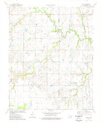
1974 · Lovell
USGS Topo · 1:24,000
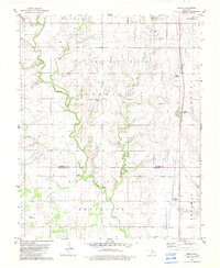
1982 · Bison
USGS Topo · 1:24,000