
1954 Map of Steinhatchee
USGS Topo · Published 1955About this map
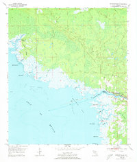
The Steinhatchee River serves as the dividing line between Taylor and Dixie counties in this coastal survey, where the settlement of Steinhatchee sits at the river's mouth. The landscape is defined by the transition from terrestrial features like Hickory Ridge and the dense Pine Log Swamp into the intricate tidal marshlands of Deadman Bay. Along the Gulf of Mexico, a series of coastal landmarks including Little Grass Island, Rock Point, and Hardy Point mark the winding shoreline. Navigational details such as Spoil Banks, various Light markers, and a Platform indicate the maritime activity of the mid-1950s. Farther north, the isolated Dallus Creek Landing provides a specific point of reference for early water access. The map reveals a complex drainage network including Porpoise Creek, Jack Creek, and Howard Creek weaving through the swampy lowlands toward the Shell Reefs offshore.
Find a feature on this map
26 named features on this map. Tap any name to fly to it.
Don’t see what you’re looking for? This feature index may not catch every label — zoom into the map to look around manually.
Map Details
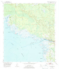
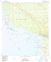
Editions of this 1954 Steinhatchee Map
4 editions found
Other maps of this area

1954 · Steinhatchee SW
USGS Topo · 1:24,000

1954 · Clara
USGS Topo · 1:24,000

1954 · Salem SW
USGS Topo · 1:24,000

1954 · Jena
USGS Topo · 1:24,000

1954 · Steinhatchee SE
USGS Topo · 1:24,000

1954 · Keaton Beach
USGS Topo · 1:24,000

1954 · Crooked Point
USGS Topo · 1:24,000

1954 · Gainesville
USGS Topo · 1:250,000

1958 · Gainesville
USGS Topo · 1:250,000

1959 · Gainesville
USGS Topo · 1:250,000