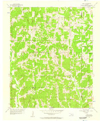
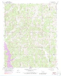
1956 Map of Stella
USGS Topo · Published 1957About this map
Stella and the surrounding drainage of the Little River define this rural Oklahoma landscape in the mid-1950s. The map captures a period of transition where several local educational landmarks, such as Union Sch and Pleasant Hill Sch, are already noted as abandoned, indicating shifts in rural population and school consolidation. The presence of an Oil Well near the center of the sheet reflects the local mineral industry that often shaped these communities.
Find a feature on this map
19 named features on this map. Tap any name to fly to it.
Don’t see what you’re looking for? This feature index may not catch every label — zoom into the map to look around manually.
Map Details
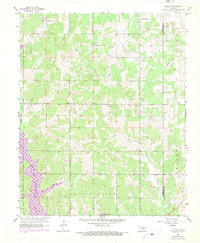
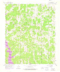
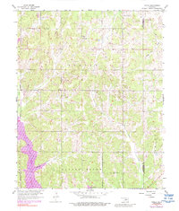
Editions of this 1956 Stella Map
5 editions found
Other maps of this area

1892 · Moore
USGS Topo · 1:62,500

1893 · Norman
USGS Topo · 1:62,500

1898 · Purcell
USGS Topo · 1:125,000

1910 · McComb
USGS Topo · 1:62,500

1930 · McLoud
USGS Topo · 1:62,500

1934 · Moore
USGS Topo · 1:62,500

1936 · Norman
USGS Topo · 1:62,500

1938 · Moore
USGS Topo · 1:62,500

1954 · Oklahoma City
USGS Topo · 1:250,000
1956 · Choctaw
USGS Topo · 1:24,000