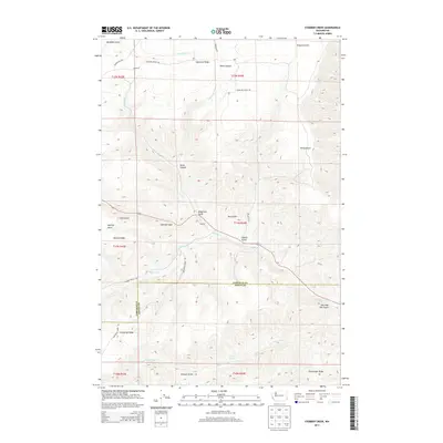
2013 Map of Stember Creek
USGS Topo · Published 2013About this map
Valentine Ridge and Alpowa Ridge define the dissected plateau of the Blue Mountains' northern foothills in this 2013 U.S. Geological Survey topographic map. The landscape is marked by deep drainage systems including Davis Canyon, Megginson Gulch, and Sheep Gulch, which all feed toward the winding paths of Stember Cr and Alpowa Cr. The boundary between Garfield Co and Asotin Co cuts east-to-west across the central portion of the map, illustrating how political lines often bisect the natural flow of these water systems.
Find a feature on this map
69 named features on this map. Tap any name to fly to it.
Don’t see what you’re looking for? This feature index may not catch every label — zoom into the map to look around manually.
Map Details
Editions of this 2013 Stember Creek Map
This is the sole edition of this map. No revisions or reprints were ever made.
Other maps of this area

1910 · Pullman
USGS Topo · 1:125,000

1943 · Peola
USGS Topo · 1:62,500

1945 · Clarkston
USGS Topo · 1:62,500

1946 · Peola
USGS Topo · 1:62,500

1948 · Clarkston
USGS Topo · 1:62,500

1955 · Pullman
USGS Topo · 1:250,000

1958 · Pullman
USGS Topo · 1:250,000

1964 · Kirby
USGS Topo · 1:24,000

1964 · Colton
USGS Topo · 1:24,000

1964 · Bishop
USGS Topo · 1:24,000