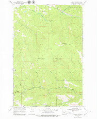
1968 Map of Stemple Pass
USGS Topo · Published 1979About this map
The Continental Divide zigzags across this high-country landscape, marking the hydrological spine of the Helena National Forest. At the time of this 1968 field survey, the area was defined by its mineral history and steep terrain, with Stemple Pass and Flesher Pass providing critical crossings through the mountains. To the south, the settlement of Gould sits near the headwaters of Fool Hen Creek and Virginia Creek, surrounded by numerous prospects and the Wizard mine. The drainage patterns are intricate, with the Blackfoot River catching northern runoff from Horsefly Creek, while the southern slopes are carved by Page Gulch and Bear Gulch. A rare sign of early water management appears near the southern border with the Pilgeram Ditch, which redirected flow along the timbered slopes. This map documents a quiet period of high-altitude prospecting and forest management before modern developments reached this part of the Rockies.
Find a feature on this map
27 named features on this map. Tap any name to fly to it.
Don’t see what you’re looking for? This feature index may not catch every label — zoom into the map to look around manually.
Map Details
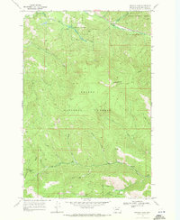
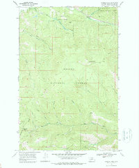
Editions of this 1968 Stemple Pass Map
3 editions found
Other maps of this area

1889 · Helena
USGS Topo · 1:250,000

1893 · Helena
USGS Topo · 1:250,000

1899 · Helena
USGS Topo · 1:250,000

1903 · Coopers Lake
USGS Topo · 1:125,000

1903 · Helena
USGS Topo · 1:250,000

1943 · Hogan
USGS Topo · 1:125,000

1947 · Butte
USGS Topo · 1:250,000

1955 · Choteau
USGS Topo · 1:250,000

1957 · Choteau
USGS Topo · 1:250,000

1958 · Butte
USGS Topo · 1:250,000