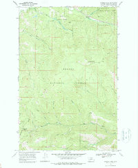
1968 Map of Stemple Pass
USGS Topo · Published 1988About this map
The Continental Divide defines the high-altitude character of this portion of the Helena National Forest, marking a jagged boundary across the landscape. The region's history of mineral exploration is evident in the presence of Wizard and numerous prospects scattered along the mountain slopes, particularly near the settlement of Gould. These sites hint at the small-scale mining efforts that once dotted the gulches and ridges of the northern Rockies.
Find a feature on this map
26 named features on this map. Tap any name to fly to it.
Don’t see what you’re looking for? This feature index may not catch every label — zoom into the map to look around manually.
Map Details
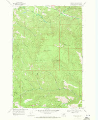
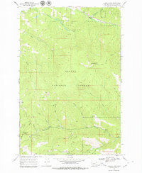
Editions of this 1968 Stemple Pass Map
3 editions found
Other maps of this area

1889 · Helena
USGS Topo · 1:250,000

1893 · Helena
USGS Topo · 1:250,000

1899 · Helena
USGS Topo · 1:250,000

1903 · Coopers Lake
USGS Topo · 1:125,000

1903 · Helena
USGS Topo · 1:250,000

1943 · Hogan
USGS Topo · 1:125,000

1947 · Butte
USGS Topo · 1:250,000

1955 · Choteau
USGS Topo · 1:250,000

1957 · Choteau
USGS Topo · 1:250,000

1958 · Butte
USGS Topo · 1:250,000