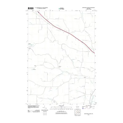
2010 Map of Stenulson Coulee
USGS Topo · Published 2010About this map
Stenulson Coulee serves as a focal point in this rural Jackson County landscape, where the terrain is defined by a dense network of creek valleys and ridges. Water management and infrastructure are prominent, with the Ludeman G924 Dam creating the 1.18 Reservoir and the Lewis E6092 Dam situated near the Lewis Airport. These features suggest a landscape balancing agricultural use with water conservation and light aviation in the early 21st century.
Find a feature on this map
63 named features on this map. Tap any name to fly to it.
Don’t see what you’re looking for? This feature index may not catch every label — zoom into the map to look around manually.
Map Details
Editions of this 2010 Stenulson Coulee Map
This is the sole edition of this map. No revisions or reprints were ever made.
Other maps of this area

1924 · Black River Falls
USGS Topo · 1:62,500

1926 · Black River Falls
USGS Topo · 1:62,500

1926 · North Bend
USGS Topo · 1:62,500

1927 · Blair
USGS Topo · 1:62,500

1928 · Melrose
USGS Topo · 1:48,000

1929 · North Bend
USGS Topo · 1:62,500

1949 · Melrose
USGS Topo · 1:62,500

1953 · Eau Claire
USGS Topo · 1:250,000

1958 · Eau Claire
USGS Topo · 1:250,000

1964 · Eau Claire
USGS Topo · 1:250,000