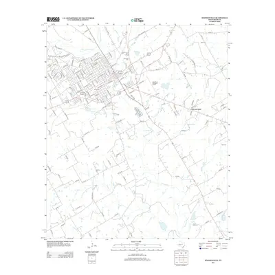
2012 Map of Stephenville
USGS Topo · Published 2012About this map
Tarleton State Univ and the Stephenville Beauty Coll anchor the academic and civic core of this North Texas community. The landscape is defined by the convergence of the N Fork N Bosque River and S Fork N Bosque River, which feed into the main N Bosque River flowing southeast toward the small settlement of Welcome Valley. Numerous family and community burial grounds, such as Allard Cem, Ogan Cem, and Johnson Cem, are scattered across the surrounding ranchland, offering a window into the rural genealogy of Erath County. Aviation and transport links are prominent through the Clark Field Municipal Airport and a dense network of county roads like Smith Springs Rd and College Farm Rd that bridge the gaps between the growing town center and remote agricultural outposts.
Find a feature on this map
145 named features on this map. Tap any name to fly to it.
Don’t see what you’re looking for? This feature index may not catch every label — zoom into the map to look around manually.
Map Details
Editions of this 2012 Stephenville Map
This is the sole edition of this map. No revisions or reprints were ever made.
Other maps of this area

1890 · Stephenville
USGS Topo · 1:125,000

1920 · Stephenville
USGS Topo · 1:125,000

1954 · Abilene
USGS Topo · 1:250,000

1958 · Abilene
USGS Topo · 1:250,000

1961 · Johnsville
USGS Topo · 1:24,000
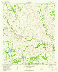
1961 · Alexander
USGS Topo · 1:24,000

1961 · Knob Hill
USGS Topo · 1:24,000
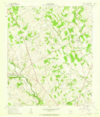
1961 · Clairette
USGS Topo · 1:24,000

1961 · Stephenville
USGS Topo · 1:24,000
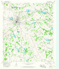
1965 · Dublin
USGS Topo · 1:24,000