
1961 Map of Stephenville
USGS Topo · Published 1963About this map
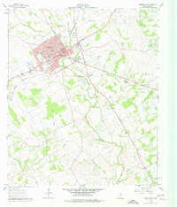
The Stephenville city center and the sprawling campus of Tarleton State College dominate the northwest corner of this West-Central Texas landscape in the early sixties. The town's grid is anchored by Washington St and Elm St, while the Gulf Colorado and Santa Fe railroad cuts a diagonal path toward the southwest. This period of growth is evidenced by a new highway section marked as Under Construction and the presence of the Stephenville Municipal Airport to the east.
Find a feature on this map
53 named features on this map. Tap any name to fly to it.
Don’t see what you’re looking for? This feature index may not catch every label — zoom into the map to look around manually.
Map Details
Editions of this 1961 Stephenville Map
4 editions found
Other maps of this area

1890 · Stephenville
USGS Topo · 1:125,000

1920 · Stephenville
USGS Topo · 1:125,000

1954 · Abilene
USGS Topo · 1:250,000

1958 · Abilene
USGS Topo · 1:250,000

1961 · Johnsville
USGS Topo · 1:24,000
1961 · Alexander
USGS Topo · 1:24,000

1961 · Knob Hill
USGS Topo · 1:24,000
1961 · Clairette
USGS Topo · 1:24,000
1965 · Dublin
USGS Topo · 1:24,000
1965 · Bunyan
USGS Topo · 1:24,000