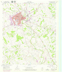
1961 Map of Stephenville
USGS Topo · Published 1979About this map
Stephenville serves as the central hub of this 1961 survey, where the convergence of the Atchison Topeka and Santa Fe railroad and the North Bosque River defines the town's early growth. The campus of Tarleton State College and the Tarleton State College Farm highlight the area's long-standing connection to agricultural education and research. This edition, which includes later 1970s revisions, captures the city's expansion beyond its traditional core of streets like Washington St and Elm St.
Find a feature on this map
52 named features on this map. Tap any name to fly to it.
Don’t see what you’re looking for? This feature index may not catch every label — zoom into the map to look around manually.
Map Details
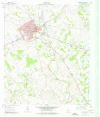
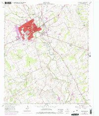
Editions of this 1961 Stephenville Map
4 editions found
Other maps of this area

1890 · Stephenville
USGS Topo · 1:125,000

1920 · Stephenville
USGS Topo · 1:125,000

1954 · Abilene
USGS Topo · 1:250,000

1958 · Abilene
USGS Topo · 1:250,000

1961 · Johnsville
USGS Topo · 1:24,000
1961 · Alexander
USGS Topo · 1:24,000

1961 · Knob Hill
USGS Topo · 1:24,000
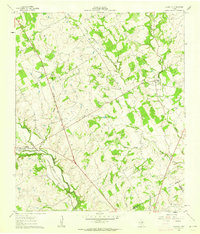
1961 · Clairette
USGS Topo · 1:24,000

1961 · Stephenville
USGS Topo · 1:24,000
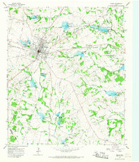
1965 · Dublin
USGS Topo · 1:24,000