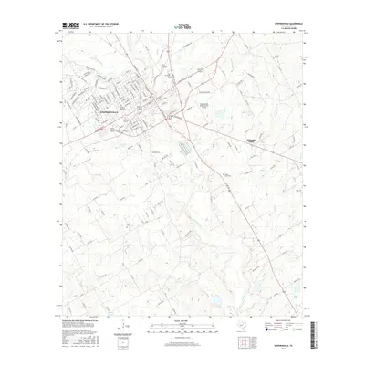
2016 Map of Stephenville
USGS Topo · Published 2016About this map
The Stephenville landscape is defined by the winding course of the N Bosque River and its numerous tributaries, including Pole Hollow Br and Alarm Cr. In the northern portion of this Texas survey, the expansive campus of Tarleton State Univ serves as a central landmark for the town. The residential and commercial growth of the area is framed by its historical burial grounds, with West End Cem, Mount Olive Cem, and East Memorial Cem clustered near the urban center.
Find a feature on this map
166 named features on this map. Tap any name to fly to it.
Don’t see what you’re looking for? This feature index may not catch every label — zoom into the map to look around manually.
Map Details
Editions of this 2016 Stephenville Map
This is the sole edition of this map. No revisions or reprints were ever made.
Other maps of this area

1890 · Stephenville
USGS Topo · 1:125,000

1920 · Stephenville
USGS Topo · 1:125,000

1954 · Abilene
USGS Topo · 1:250,000

1958 · Abilene
USGS Topo · 1:250,000

1961 · Johnsville
USGS Topo · 1:24,000
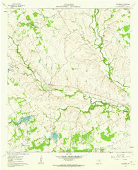
1961 · Alexander
USGS Topo · 1:24,000

1961 · Knob Hill
USGS Topo · 1:24,000
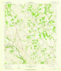
1961 · Clairette
USGS Topo · 1:24,000

1961 · Stephenville
USGS Topo · 1:24,000
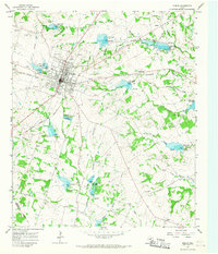
1965 · Dublin
USGS Topo · 1:24,000