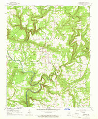
1965 Map of Steprock
USGS Topo · Published 1966About this map
The Little Red River meanders through the heart of this mid-1960s landscape, creating a distinct geographical divide between the northern uplands and the river bottoms. In the central flats near Steprock, the terrain is marked by fertile Wells Bottom and several small community centers like Sunnydale and Denmark. The map captures a rural Arkansas infrastructure defined by a network of country churches and small family cemeteries, such as Olive Branch Cem and Philadelphia Cem, which are often located near local high points like Tater Hill or Round Mountain.
Find a feature on this map
46 named features on this map. Tap any name to fly to it.
Don’t see what you’re looking for? This feature index may not catch every label — zoom into the map to look around manually.
Map Details
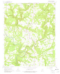
Editions of this 1965 Steprock Map
2 editions found
Other maps of this area

1890 · Batesville
USGS Topo · 1:125,000

1891 · Batesville
USGS Topo · 1:125,000

1935 · Bald Knob
USGS Topo · 1:62,500

1953 · Memphis
USGS Topo · 1:250,000

1956 · Memphis
USGS Topo · 1:250,000

1962 · Pangburn
USGS Topo · 1:24,000

1962 · Letona
USGS Topo · 1:24,000

1965 · Pleasant Plains
USGS Topo · 1:24,000
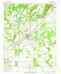
1965 · Bald Knob
USGS Topo · 1:24,000
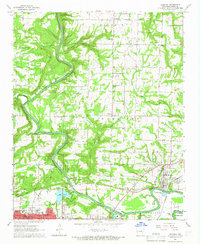
1965 · Judsonia
USGS Topo · 1:24,000