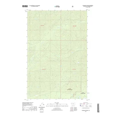
2020 Map of Stequaleho Creek
USGS Topo · Published 2020About this map
The Clearwater River and Solleks River define this deeply dissected landscape in western Jefferson County, where steep drainage basins converge in the heart of the Olympic Peninsula. This 2020 survey illustrates the transition from managed timberlands into the protected wilderness of Olympic National Park and Olympic National Forest. The map detail follows the intricate network of tributaries like Stequaleho Cr and Kunamokst Cr, highlighting a terrain dominated by hydrology rather than human settlement. Near the southern boundary, the Queets River flows past Sams Rapids, while the isolated Yahoo Lake sits perched among the ridges. The only named road infrastructure is frq3000, emphasizing the area's role as a primary watershed for the coastal rainforest ecosystem.
Find a feature on this map
20 named features on this map. Tap any name to fly to it.
Don’t see what you’re looking for? This feature index may not catch every label — zoom into the map to look around manually.
Map Details
Editions of this 2020 Stequaleho Creek Map
This is the sole edition of this map. No revisions or reprints were ever made.
Other maps of this area

1939 · Mount Tom
USGS Topo · 1:62,500

1943 · Spruce Mountain
USGS Topo · 1:62,500

1943 · Copalis Beach
USGS Topo · 1:250,000

1951 · Copalis Beach
USGS Topo · 1:250,000

1956 · Kloochman Rock
USGS Topo · 1:62,500

1956 · Mount Tom
USGS Topo · 1:62,500

1956 · Spruce Mtn.
USGS Topo · 1:62,500

1956 · Salmon River
USGS Topo · 1:62,500
1957 · Mount Tom
USGS Topo · 1:62,500

1957 · Copalis Beach
USGS Topo · 1:250,000