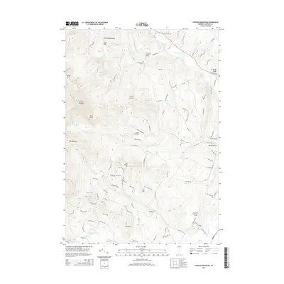
2015 Map of Sterling Mountain
USGS Topo · Published 2015About this map
The Lamoille River winds through this 2015 landscape, defining the valley between the Sterling Range and the eastern heights. This modern survey illustrates the persistent rural character of Vermont's Green Mountains, where historical landmarks like the Waterman Covered Bridge stand alongside newer infrastructure such as the Mountain View Farm Airport. The map highlights a network of small settlements including West Settlement, Hyde Park, and Morristown, linked by a web of mountain roads and town highways like Cole Hill Rd and River Rd E.
Find a feature on this map
114 named features on this map. Tap any name to fly to it.
Don’t see what you’re looking for? This feature index may not catch every label — zoom into the map to look around manually.
Map Details
Editions of this 2015 Sterling Mountain Map
This is the sole edition of this map. No revisions or reprints were ever made.
Other maps of this area

1919 · Montpelier
USGS Topo · 1:62,500

1921 · Richmond
USGS Topo · 1:48,000

1921 · Montpelier
USGS Topo · 1:62,500

1924 · Camels Hump
USGS Topo · 1:62,500

1925 · Mount Mansfield
USGS Topo · 1:48,000

1927 · Mount Mansfield
USGS Topo · 1:62,500

1927 · Hyde Park
USGS Topo · 1:48,000

1930 · Hyde Park
USGS Topo · 1:62,500
1943 · Hyde Park
USGS Topo · 1:62,500

1944 · Montpelier
USGS Topo · 1:62,500