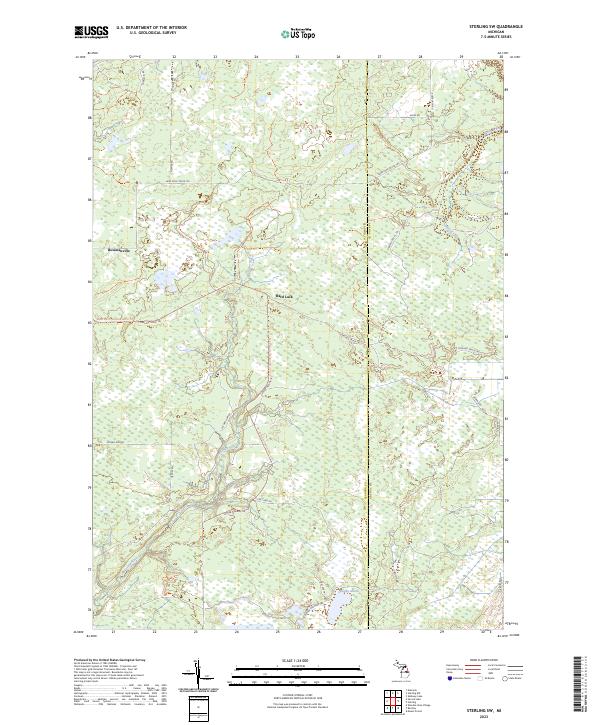
2023 Map of Sterling SW
USGS Topo · Published 2023About this map
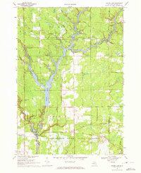
Bowmanville and the curious settlement of Hard Luck anchor this modern survey of the northeastern Gladwin County backcountry. The landscape is defined by a dense network of forest roads and trails, such as the Lame Duck Truck Trl and Sterling Truck Trl, which navigate the complex hydrology of the region. The Molasses River meanders through the western half of the quadrangle, while the southeast is dominated by the sprawling Bentley Marsh. These features suggest a terrain primarily utilized for timber management and outdoor recreation, where seasonal trails like the Mosquito Ally Tktrl provide access to the interior. The map also delineates the jurisdictional boundary between Gladwin and Arenac County in the east, capturing the intersection of these rural townships in the early 21st century.
Find a feature on this map
24 named features on this map. Tap any name to fly to it.
Don’t see what you’re looking for? This feature index may not catch every label — zoom into the map to look around manually.
Map Details
Editions of this 2023 Sterling SW Map
This is the sole edition of this map. No revisions or reprints were ever made.
Historical Maps of Moffatt Township Through Time
14 maps found
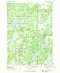
1968 Sterling SW
Gladwin County, MI
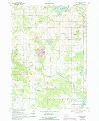
1969 Bentley
Gladwin County, MI
1969 Coleman NE
Gladwin County, MI
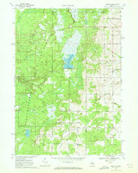
1969 Secord Lake
Gladwin County, MI
1969 Skeels
Gladwin County, MI
1969 Wagarville
Gladwin County, MI
1969 Wooden Shoe Village
Gladwin County, MI
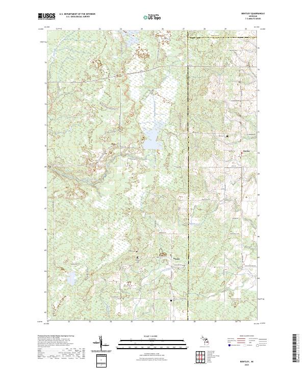
2023 Bentley
Gladwin County, MI
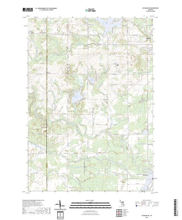
2023 Coleman NE
Gladwin County, MI
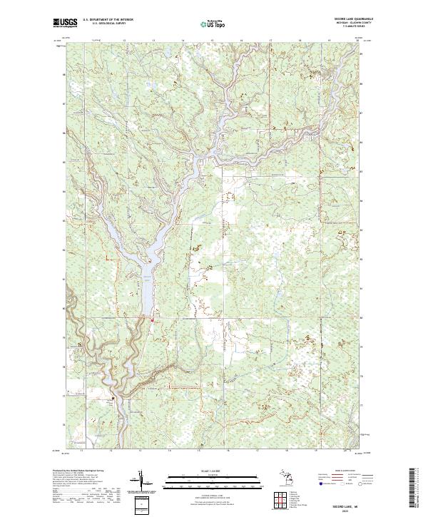
2023 Secord Lake
Gladwin County, MI
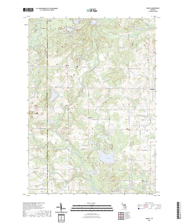
2023 Skeels
Gladwin County, MI
2023 Sterling SW
Gladwin County, MI
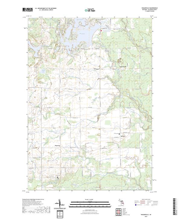
2023 Wagarville
Gladwin County, MI
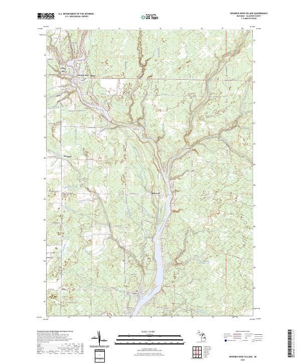
2023 Wooden Shoe Village
Gladwin County, MI
Featured Locations
- Moffatt Township, MI
- Bourret Township, MI
- Grim Township, MI
- Bowmanville, Grim Township
- Hard Luck, Grim Township