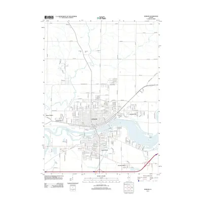
2012 Map of Sterling
USGS Topo · Published 2012About this map
Sterling and Rock Falls anchor this portion of Whiteside County, situated on the banks of the Rock River. The urban grid is defined by historical expansion through neighborhoods like Grimes Addition, Woodland Hills, and Yeoward Addition. This 2011 aerial-based survey captures the industrial and residential core of the twin cities, where the river serves as both a geographic divide and a focal point for activity at Oppold Marina and Crystal Lake.
Find a feature on this map
67 named features on this map. Tap any name to fly to it.
Don’t see what you’re looking for? This feature index may not catch every label — zoom into the map to look around manually.
Map Details
Editions of this 2012 Sterling Map
This is the sole edition of this map. No revisions or reprints were ever made.
Other maps of this area

1930 · Woodsung
USGS Topo · 1:48,000

1932 · Prophetstown
USGS Topo · 1:48,000

1934 · Morrison
USGS Topo · 1:48,000

1936 · Prophetstown
USGS Topo · 1:62,500

1940 · Morrison
USGS Topo · 1:62,500

1946 · Sterling
USGS Topo · 1:62,500

1948 · Sterling
USGS Topo · 1:62,500

1949 · Walnut
USGS Topo · 1:62,500

1958 · Aurora
USGS Topo · 1:250,000

1961 · Aurora
USGS Topo · 1:250,000