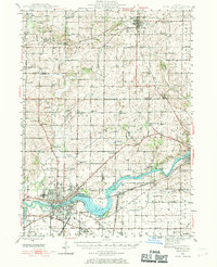
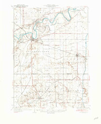
1946 Map of Sterling
USGS Topo · Published 1969About this map
The Rock River bisects this mid-century landscape, anchoring the twin industrial hubs of Sterling and Rock Falls. This 1946 survey details a highly developed agricultural and transport corridor, where the Chicago and Northwestern and Chicago Burlington and Quincy railroads intersect the river's path. The map reveals an exceptionally dense network of rural infrastructure, from the numerous country schoolhouses like Buffalo Grove Sch and Evergreen Sch to the many family and community burial grounds including Zion Cem and Calvary Cem. Small settlements like Polo and Woosung appear as vital local junctions amidst a landscape defined by creeks such as Elkhorn Creek and Buffalo Creek. The inclusion of Lawrence Park and the Plum Hollow Golf Course illustrates the community's mid-century recreational footprint along the water's edge.
Find a feature on this map
90 named features on this map. Tap any name to fly to it.
Don’t see what you’re looking for? This feature index may not catch every label — zoom into the map to look around manually.
Map Details
Editions of this 1946 Sterling Map
This is the sole edition of this map. No revisions or reprints were ever made.
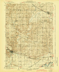
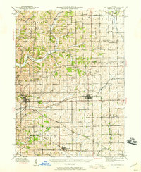
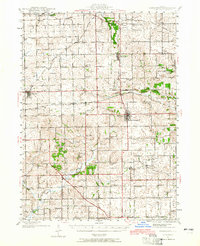
Other maps of this area
1918 · Dixon
USGS Topo · 1:62,500

1922 · Oregon
USGS Topo · 1:62,500

1924 · Oregon
USGS Topo · 1:62,500

1930 · Woodsung
USGS Topo · 1:48,000
1932 · Prophetstown
USGS Topo · 1:48,000
1934 · Morrison
USGS Topo · 1:48,000
1936 · Prophetstown
USGS Topo · 1:62,500
1940 · Morrison
USGS Topo · 1:62,500
1942 · Mt Carroll
USGS Topo · 1:62,500
1942 · Forreston
USGS Topo · 1:62,500