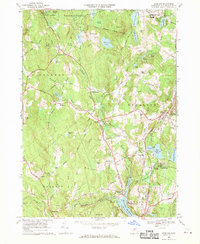
1968 Map of Sterling
USGS Topo · Published 1970About this map
The Stillwater River flows southeast through a landscape defined by the expansive Wachusett Reservoir system in the late 1960s. This survey illustrates the hydrological importance of the region, featuring the Stillwater Basin, Thomas Basin, and the subterranean path of the Quabbin Aqueduct with several surface access points at Shaft No 1, Shaft No 2, and Shaft No 3. In the town of Sterling, the community character is anchored by the Sterling Camp Grounds and local institutions like the Butterick Sch and the Massachusetts Youth Institution.
Find a feature on this map
94 named features on this map. Tap any name to fly to it.
Don’t see what you’re looking for? This feature index may not catch every label — zoom into the map to look around manually.
Map Details
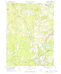
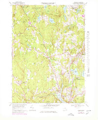
Editions of this 1968 Sterling Map
3 editions found
Other maps of this area

1885 · Worcester
USGS Topo · 1:62,500

1886 · Worcester
USGS Topo · 1:62,500

1887 · Marlboro
USGS Topo · 1:62,500

1887 · Fitchburg
USGS Topo · 1:62,500

1889 · Marlboro
USGS Topo · 1:62,500

1889 · Fitchburg
USGS Topo · 1:62,500

1892 · Worcester
USGS Topo · 1:62,500

1893 · Fitchburg
USGS Topo · 1:62,500

1893 · Groton
USGS Topo · 1:62,500

1896 · Marlboro
USGS Topo · 1:62,500