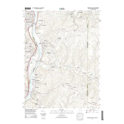
2013 Map of Steubenville East
USGS Topo · Published 2013About this map
The Ohio River carves a deep valley through this industrial and residential corridor, anchoring the historic riverfront communities of Steubenville and Weirton. By the early 21st century, the landscape reflects generations of development across the West Virginia-Ohio border, from the riverside docks at Wellsburg Wharf to the suburban expansion at Hooverson Heights and Longview Heights. Significant civil engineering projects facilitate movement through the steep terrain, notably the Wabash Bridge and the Wellsburg Tunnel.
Find a feature on this map
84 named features on this map. Tap any name to fly to it.
Don’t see what you’re looking for? This feature index may not catch every label — zoom into the map to look around manually.
Map Details
Editions of this 2013 Steubenville East Map
This is the sole edition of this map. No revisions or reprints were ever made.
Other maps of this area

1902 · Wheeling
USGS Topo · 1:62,500

1904 · Steubenville
USGS Topo · 1:62,500

1904 · Burgettstown
USGS Topo · 1:62,500

1906 · Burgettstown
USGS Topo · 1:62,500

1907 · Claysville
USGS Topo · 1:62,500

1935 · Wheeling
USGS Topo · 1:62,500

1935 · Steubenville
USGS Topo · 1:62,500

1942 · Wheeling
USGS Topo · 1:62,500

1942 · Steubenville
USGS Topo · 1:62,500

1951 · Canton
USGS Topo · 1:250,000