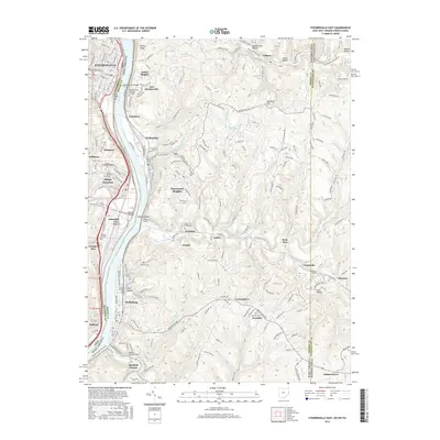
2016 Map of Steubenville East
USGS Topo · Published 2016About this map
Steubenville and Follansbee anchor this tri-state corridor where the Ohio River carves through the industrial landscape of the Upper Ohio Valley. The map captures a complex network of transportation and topography, from the Wells Creek Bar in the river to the high ground of McKim Ridge and Mechling Hill. Industrial legacies are written into the land through features like Allegheny Steel Run and the Panhandle Rail-Trail, while the engineering challenges of the area are evident in the Wellsburg Tunnel, Coen Tunnel, and the Wabash Bridge crossing.
Find a feature on this map
63 named features on this map. Tap any name to fly to it.
Don’t see what you’re looking for? This feature index may not catch every label — zoom into the map to look around manually.
Map Details
Editions of this 2016 Steubenville East Map
This is the sole edition of this map. No revisions or reprints were ever made.
Other maps of this area

1902 · Wheeling
USGS Topo · 1:62,500

1904 · Steubenville
USGS Topo · 1:62,500

1904 · Burgettstown
USGS Topo · 1:62,500

1906 · Burgettstown
USGS Topo · 1:62,500

1907 · Claysville
USGS Topo · 1:62,500

1935 · Wheeling
USGS Topo · 1:62,500

1935 · Steubenville
USGS Topo · 1:62,500

1942 · Wheeling
USGS Topo · 1:62,500

1942 · Steubenville
USGS Topo · 1:62,500

1951 · Canton
USGS Topo · 1:250,000